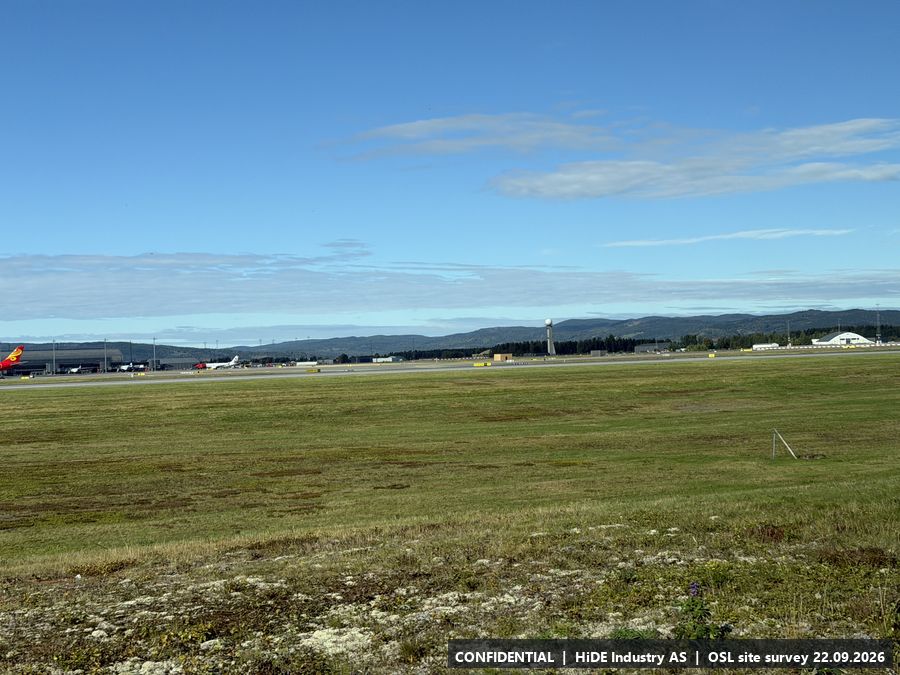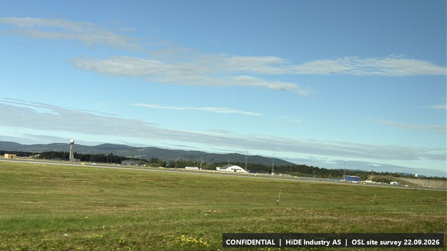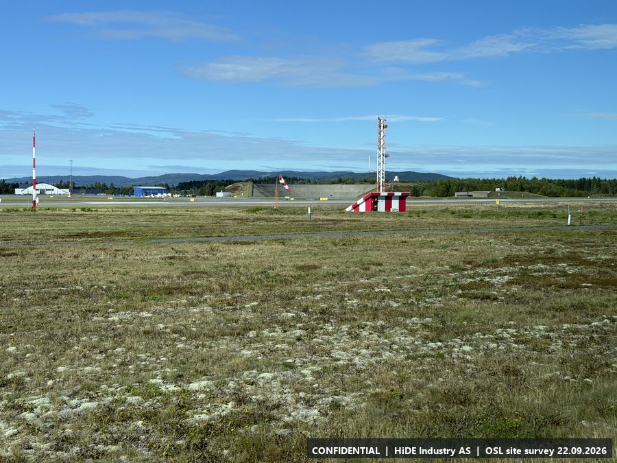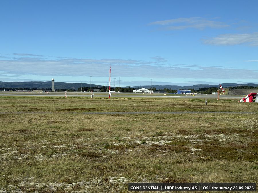
Site Survey Report: Oslo Airport Gardermoen (OSL)
Surveyed positions for detection equipment, observations only. C-UAS test 6 to 8 October 2026, survey on 22 September 2026.
CONFIDENTIAL. This report and its attachments contain photographs and positions from the airside area of an operating airport. Distribution is limited to the named recipients and their project teams. Onward sharing requires the written consent of HiDE Industry AS.
1 Purpose and scope
Avinor's site visit at Oslo Airport on 22 September 2026, ahead of the C-UAS test on 6 to 8 October. HiDE attended with Dedrone by Axon. Robin Radar asked for coordinates, photographs with camera heading and a description of the surroundings for each possible radar position.
13 positions: A to I visited on the ground, N1 to N4 plotted on the map afterwards. Observations only, no recommendation on placement; that is done in the partners' planning tool.
2 How the survey was conducted
Photographs taken with an iPhone 17 Pro; position, altitude, compass heading and accuracy read from the photo metadata (186 photographs, WGS84, typically 3 to 8 m). Each stop position is the mean of its good photo positions, adjusted by hand to the structure at A, B and H. N1 to N4 have no photographs at the point; they are referenced by photographs taken towards them from other stops.
Mobile coverage checked with Telia and Telenor SIM cards. Equipment information (antennas, radars) as observed or stated on site, not verified.
3 Overview
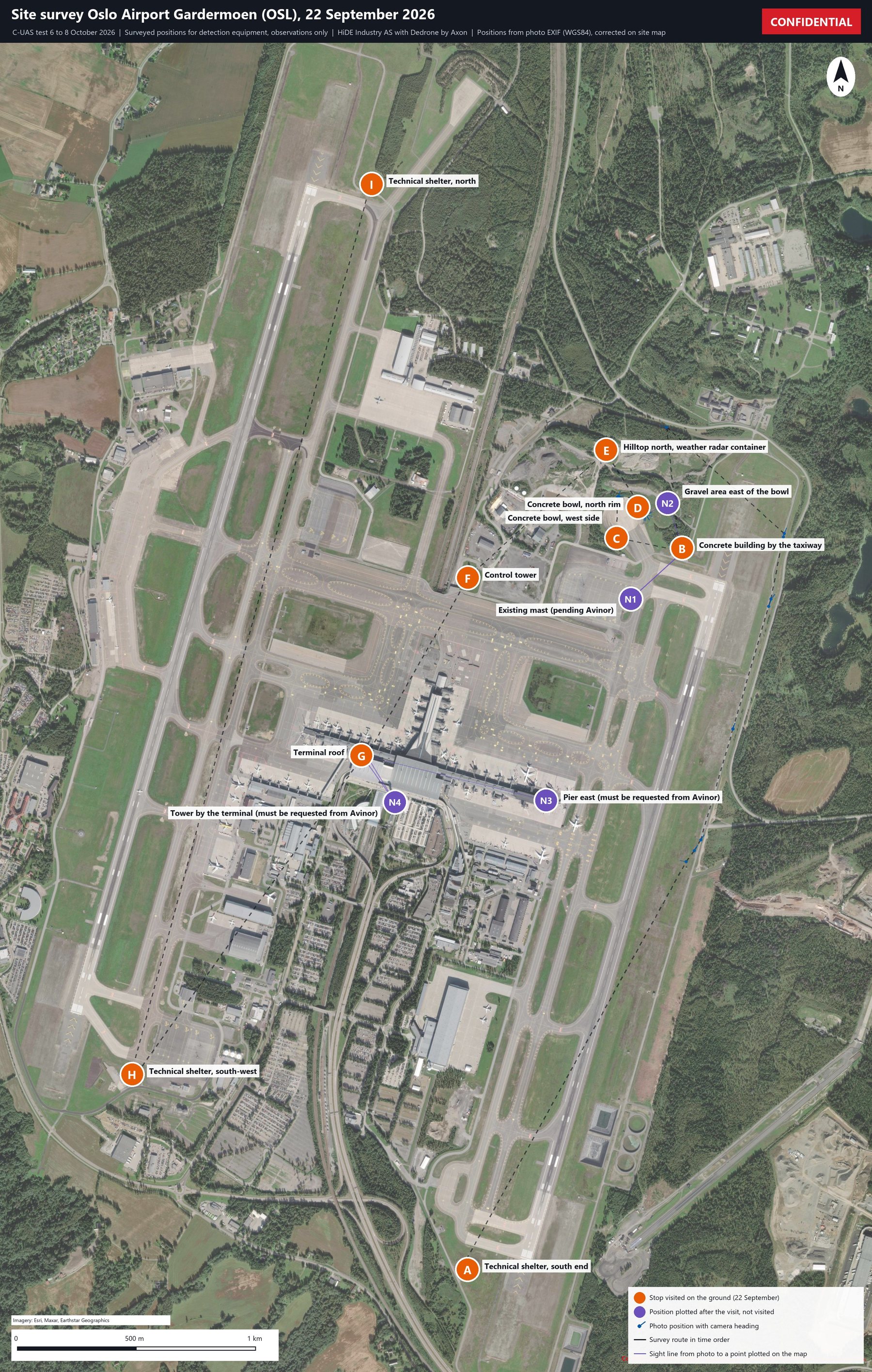
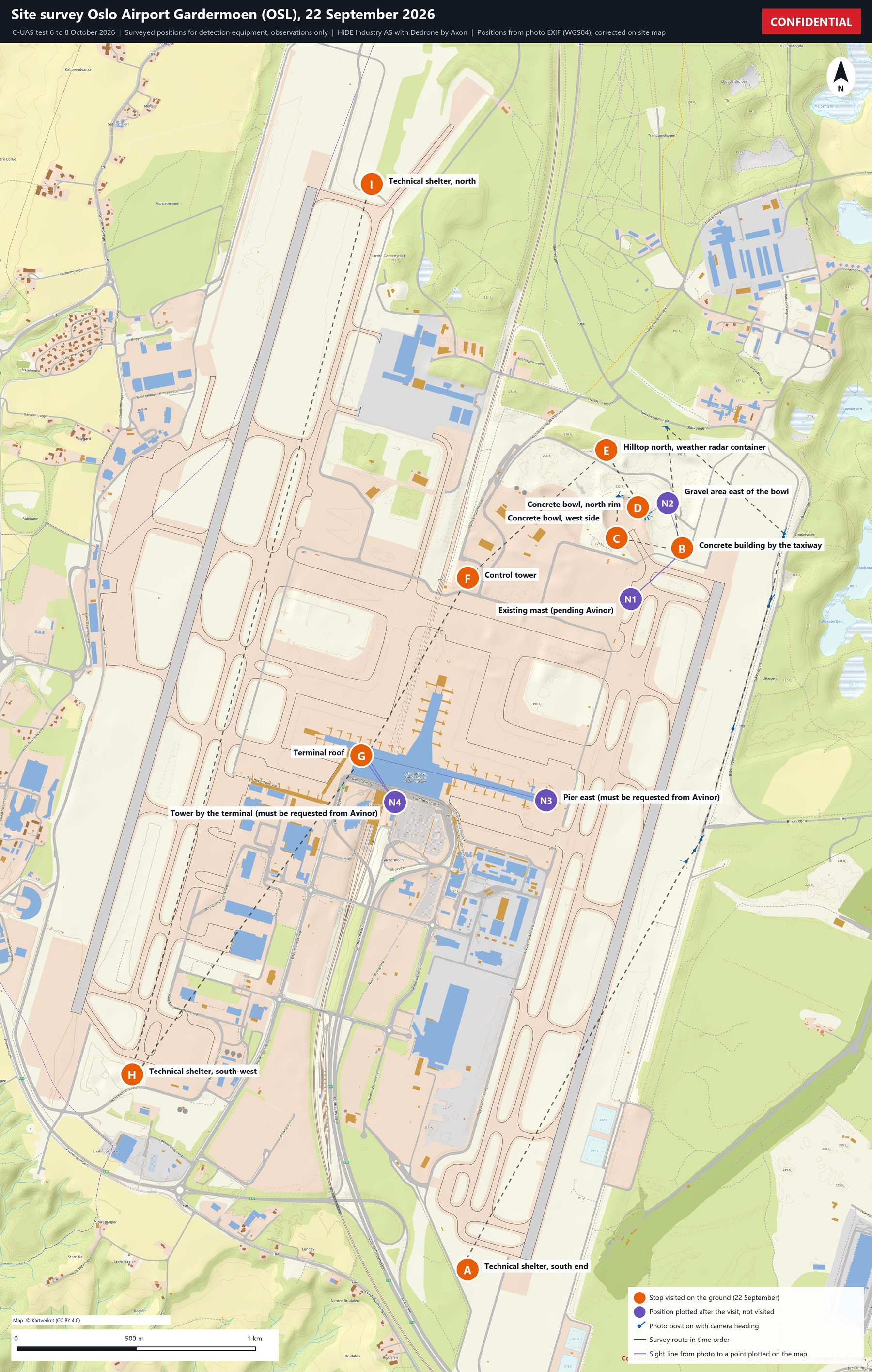
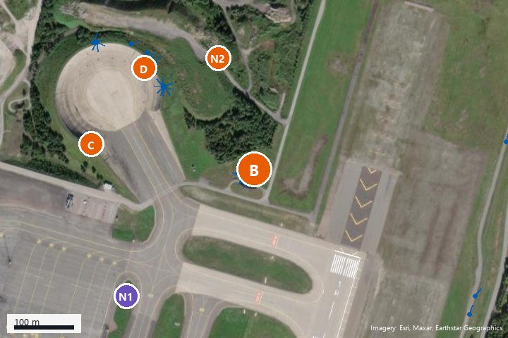
Figure 1 shows all 13 positions, the photo positions with camera headings and the route driven and walked. Orange markers are stops visited on the ground with Avinor's escort. Purple markers are positions plotted on the map after the visit and not visited; they are referenced by photographs taken from other stops. Use the layer box in the top right corner of the map to switch between aerial imagery and the topographic map, and to show or hide the stop markers, the labels, the photo positions with camera heading, and the route. Click a marker for details and a photograph; click the photograph to enlarge it.
Drag to pan, scroll or pinch to zoom. Blue ticks point in the direction the camera was facing when the photograph was taken. Grey ticks mark photographs with a stated position accuracy worse than 100 m. Imagery: Esri, Maxar, Earthstar Geographics. Topographic map: © Kartverket (CC BY 4.0).
Static overview image (print version, Figure 1)
4 Summary of positions
| ID | Position | Latitude, longitude (WGS84) | Elev. (m) | Type | Power | Mobile coverage |
|---|---|---|---|---|---|---|
| A | Technical shelter, south end | 60.175370, 11.103384 | 211 | Visited stop | Power | 5G |
| B | Concrete building by the taxiway | 60.202502, 11.119626 | 213 | Visited stop | Power | 4G Telia/Telenor |
| C | Concrete bowl, west side | 60.202886, 11.114670 | 222 | Visited stop | Maybe; may not be enough for all | 4G Telia/Telenor |
| D | Concrete bowl, north rim | 60.204037, 11.116285 | 220 | Visited stop | As C | 4G Telia/Telenor |
| E | Hilltop north, weather radar container | 60.206193, 11.113885 | 229 | Visited stop | Power | Not checked |
| F | Control tower | 60.201386, 11.103408 | 208 | Visited stop | Power | Not checked |
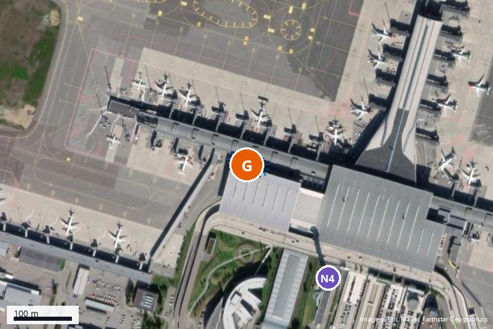
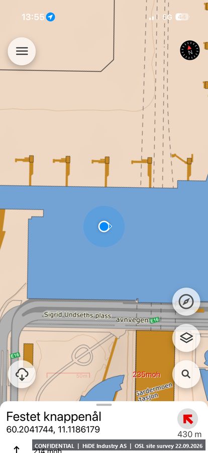
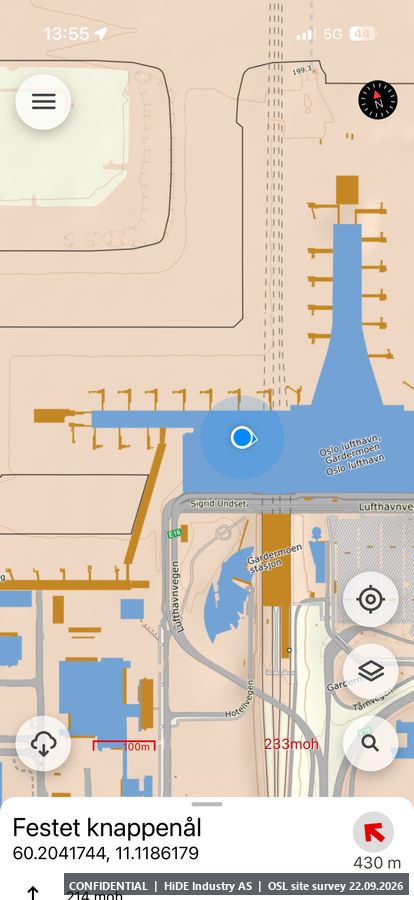
| G | Terminal roof | 60.194706, 11.095347 | 231 | Visited stop | Power | 5G east, 4G west |
| H | Technical shelter, south-west | 60.182714, 11.077997 | 206 | Visited stop | Power | 5G Telenor |
| I | Technical shelter, north | 60.216185, 11.096134 | 211 | Visited stop | Power | 4G Telenor |
| N1 | Existing mast (pending Avinor) | 60.200590, 11.115742 | n/a | Plotted, not visited | No power | Not checked |
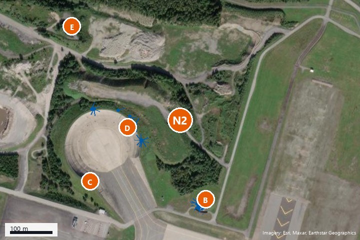
| N2 | Gravel area east of the bowl | 60.204195, 11.118536 | n/a | Plotted, not visited | No power | Not checked |
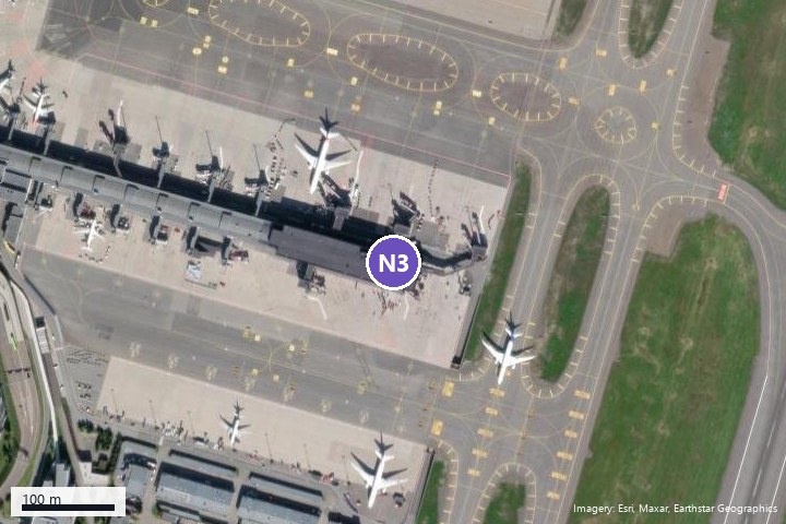
| N3 | Pier east (must be requested from Avinor) | 60.193017, 11.109344 | n/a | Plotted, not visited | Unknown | Not checked |
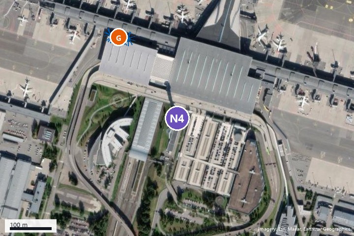
| N4 | Tower by the terminal (must be requested from Avinor) | 60.192955, 11.097891 | n/a | Plotted, not visited | Probably, not confirmed | Not checked |
Elevation is the mean GPS altitude of the photographs at the stop (hand height). Positions N1 to N4 have no altitude because no photographs were taken at the point.
5 Position descriptions
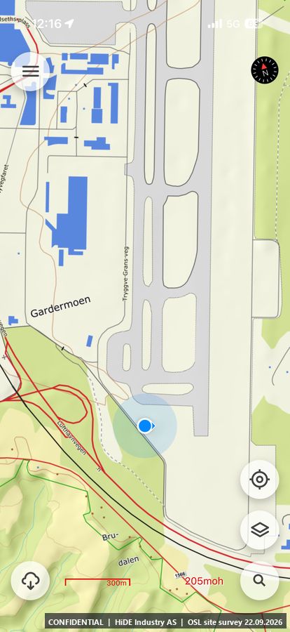
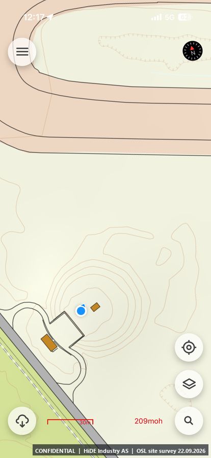
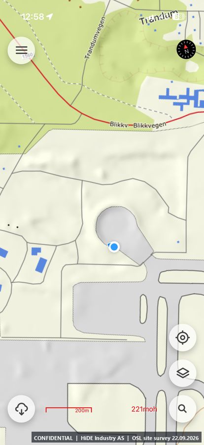
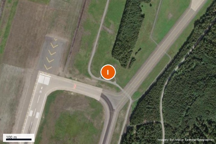
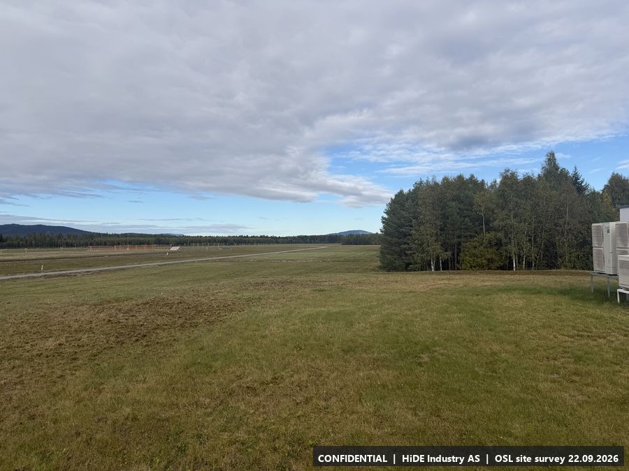
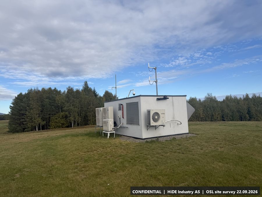
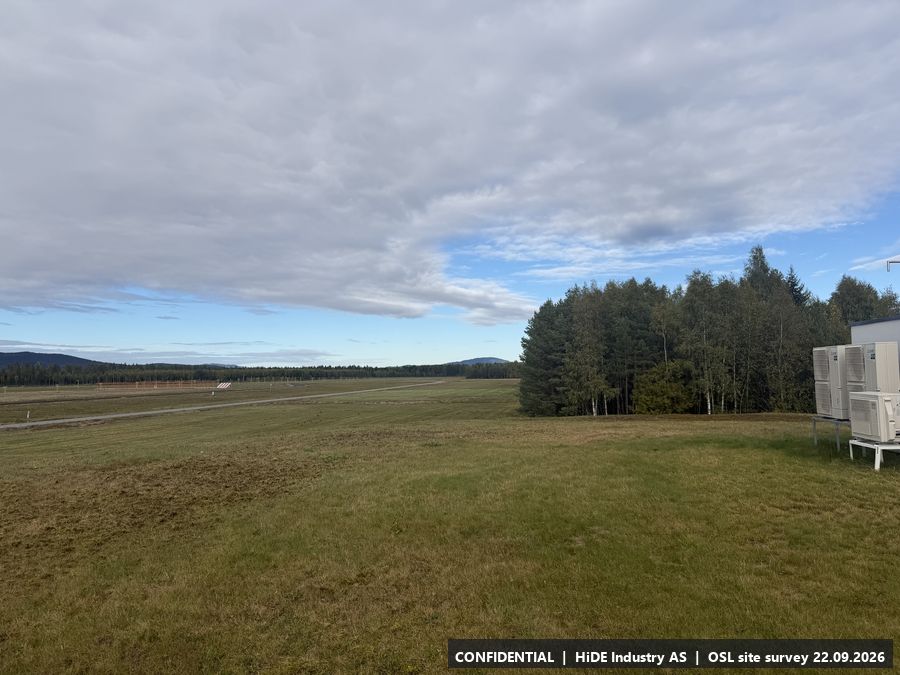
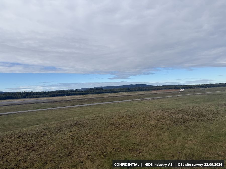
Each position is described with HiDE's field notes, two representative photographs and a local map excerpt (about 850 m by 570 m) with the photo positions and camera headings. The complete photo set for each position is in the photo package, and Annex A lists every photograph with position and heading. Click any photograph to enlarge it.
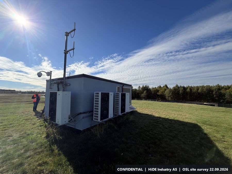
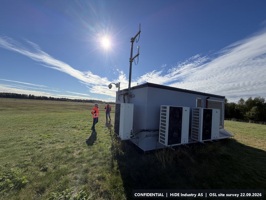
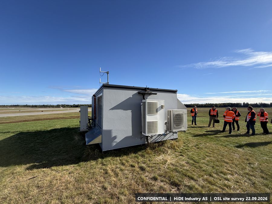
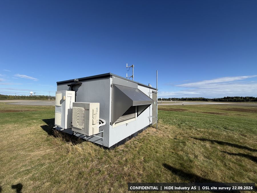
A5.1 Technical shelter, south end
- Coordinates
- 60.175370, 11.103384 (WGS84) (adjusted by hand to the structure)
- Visited
- 12:17 to 12:29 CEST. 14 photographs, camera headings covering approx. 264 degrees. Video: IMG_8547 (in the photo package)
- Elevation
- approx. 211 m above sea level (GPS, hand height)
- Type
- Stop visited on the ground with Avinor escort
- Mounting height
- Mast on or beside the shelter is possible. Shelter roof height approx. 2.8 m. Maximum mast height must be checked against Avinor's building restriction (BRA) map or obstacle limitation plan for this exact spot.
- Power
- Power.
- Mobile coverage
- 5G coverage.
- RF equipment at the site
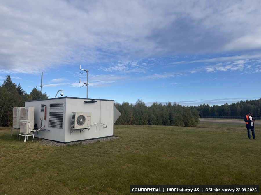
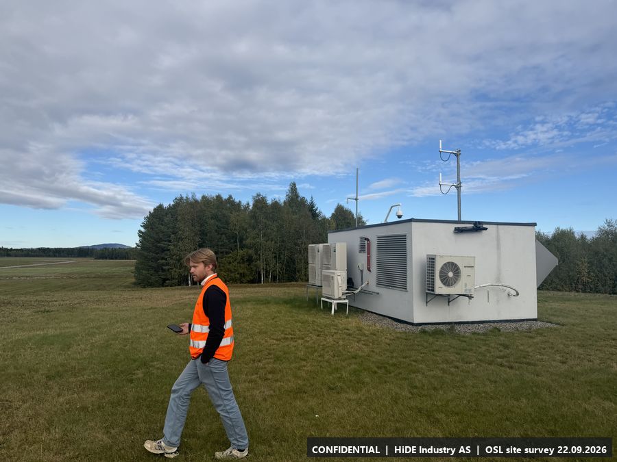
- Antennas on the shelter: 1030 MHz and 1090 MHz (SSR/ADS-B), GPS receiver.
- Notes
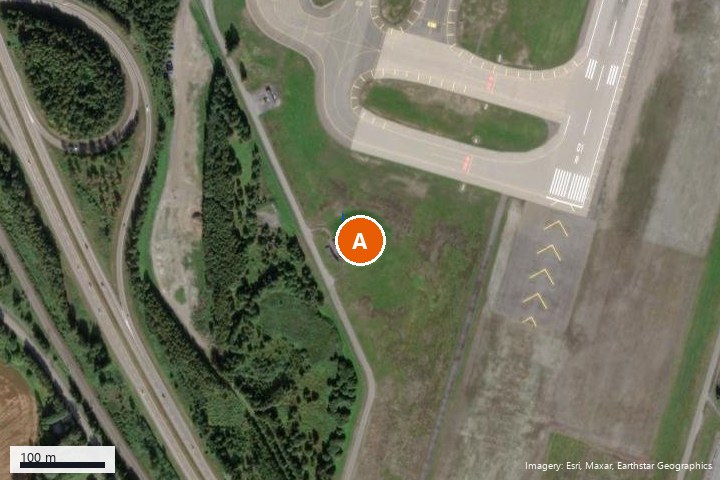
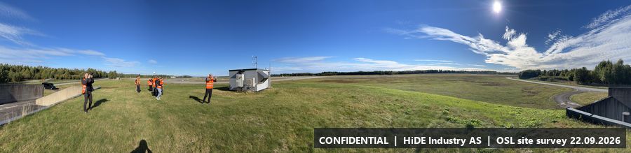
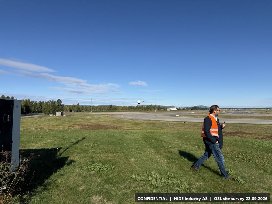
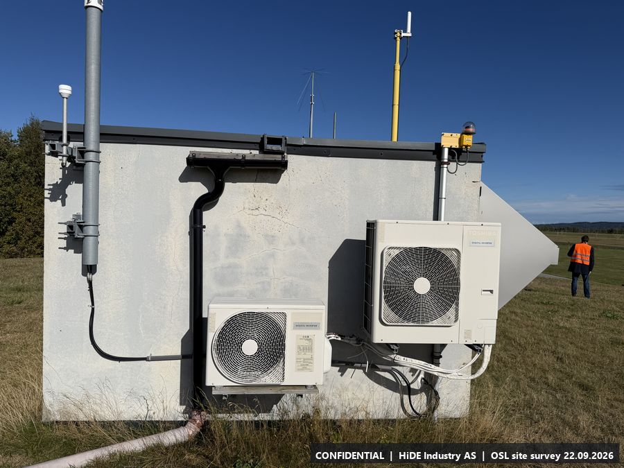
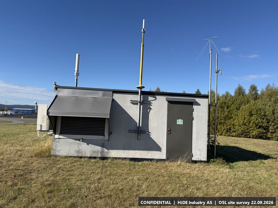
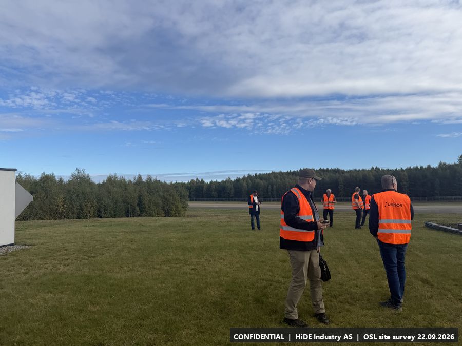
- Grass area beside the runway end. Open horizon in all directions, tree line to the west. Metal shelter with antenna mast and cameras is the only structure at the spot.
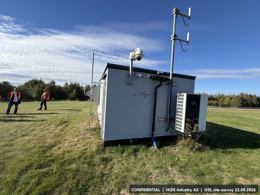
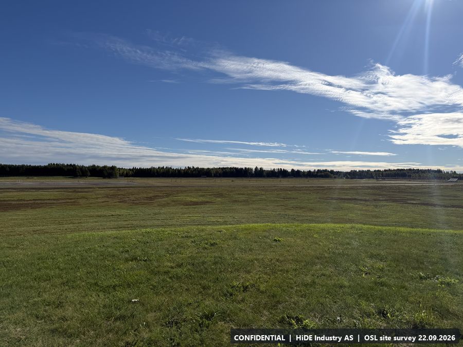
All 14 photographs from A
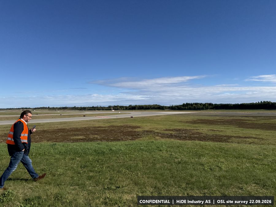
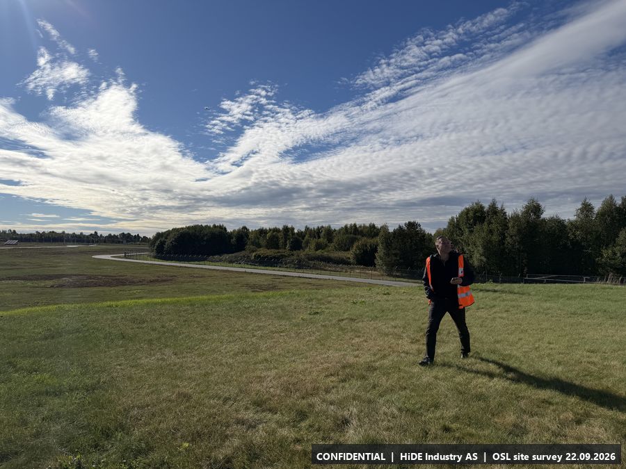
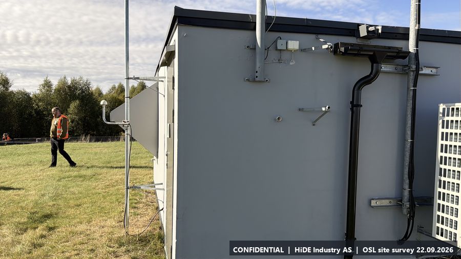
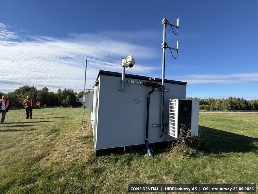
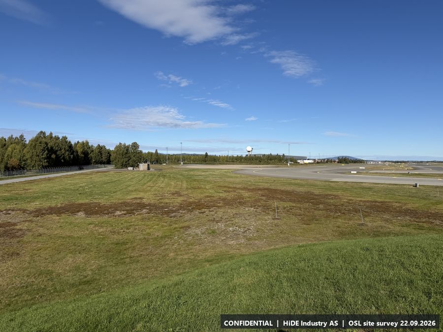
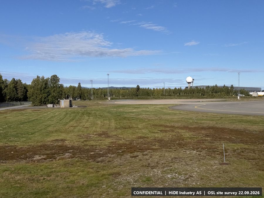
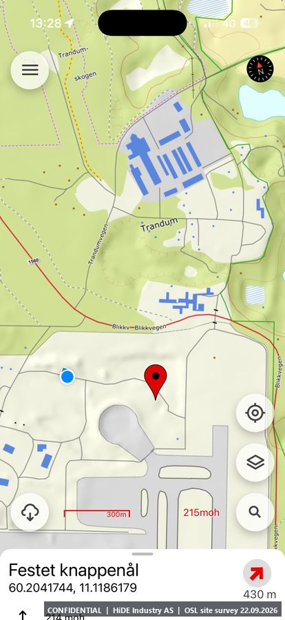
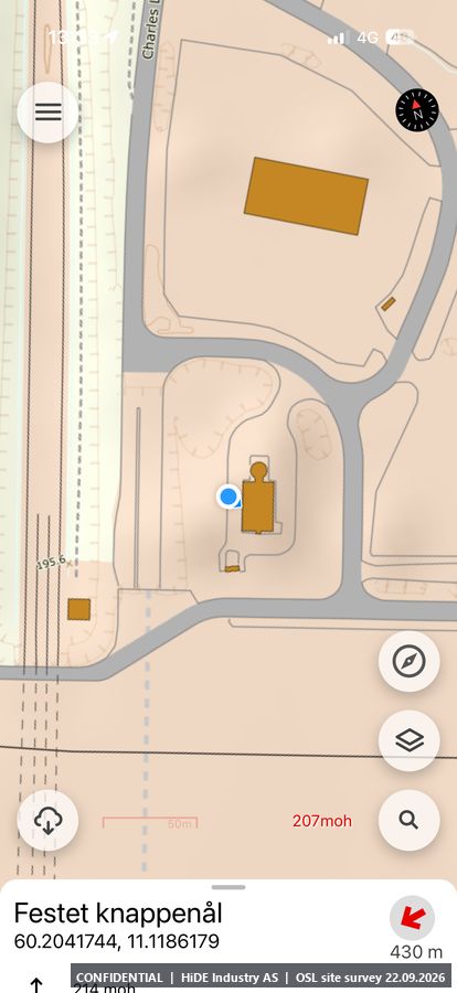
Map screenshots (Norgeskart app) at A: 2
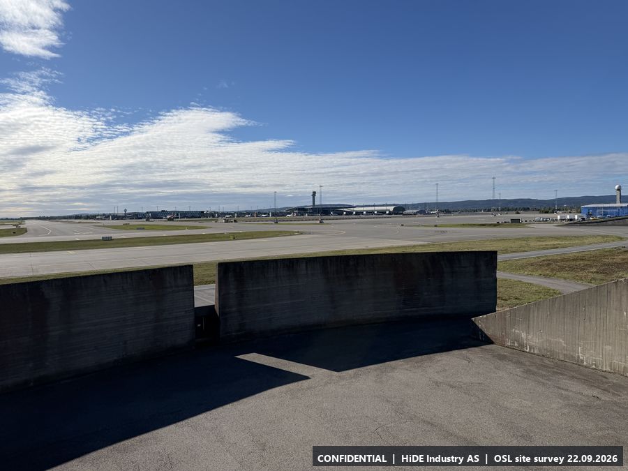
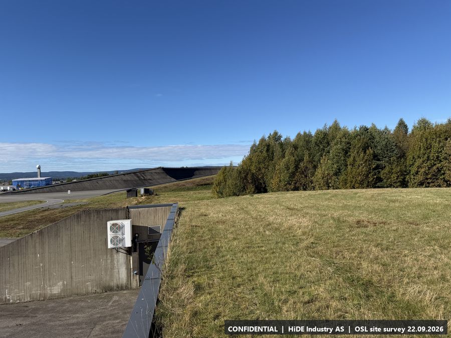
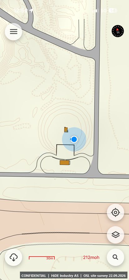
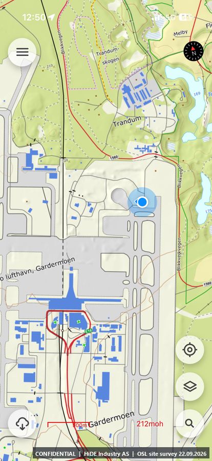
B5.2 Concrete building by the taxiway
- Coordinates
- 60.202502, 11.119626 (WGS84) (adjusted by hand to the structure)
- Visited
- 12:41 to 12:53 CEST. 37 photographs, camera headings covering approx. 332 degrees. Video: IMG_8600 (in the photo package)
- Elevation
- approx. 213 m above sea level (GPS, hand height)
- Type
- Stop visited on the ground with Avinor escort
- Mounting height
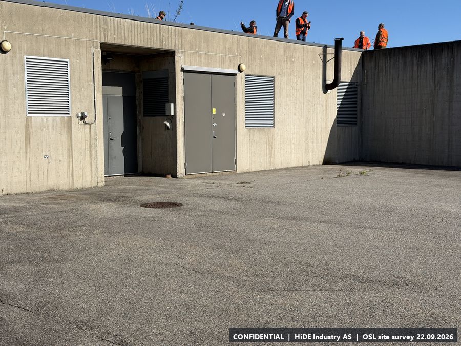
- No height limit observed on site. Maximum to be checked against Avinor's obstacle limitation plan.
- Power
- Power.
- Mobile coverage
- 4G coverage, Telia and Telenor.
- RF equipment at the site
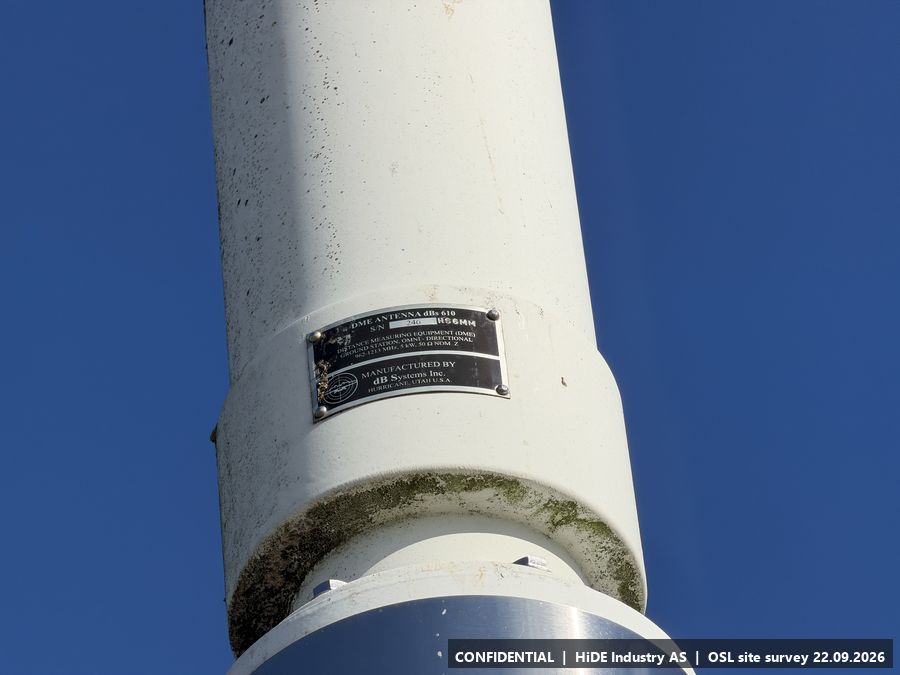
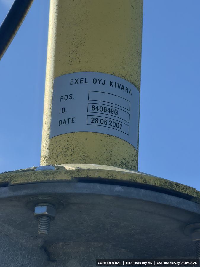
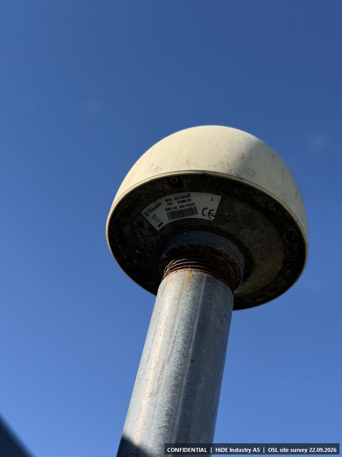
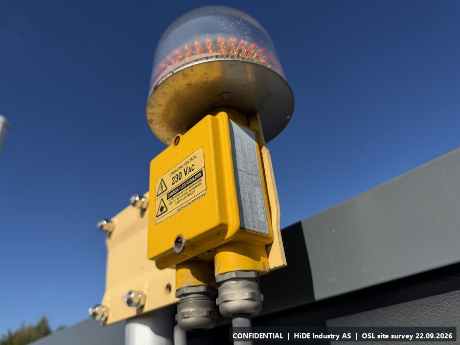
- Antennas: 1030 MHz and 1090 MHz, GPS receiver. Obstruction light on the roof.
- Notes
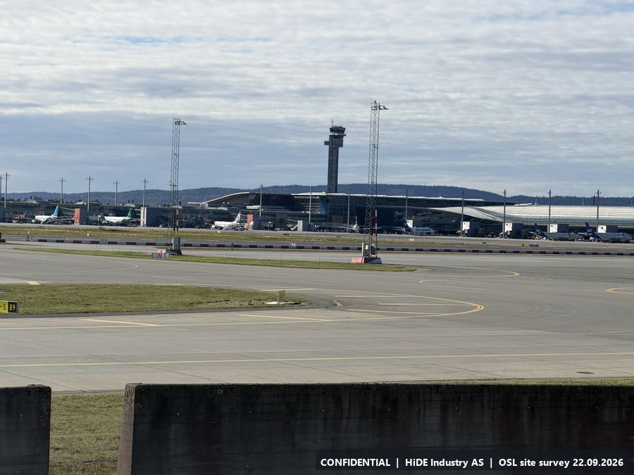
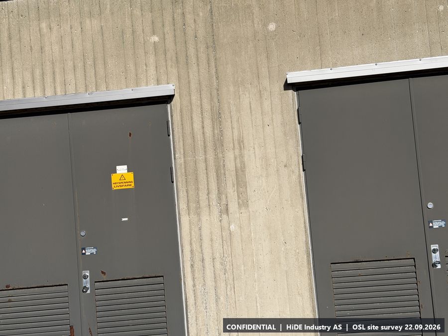
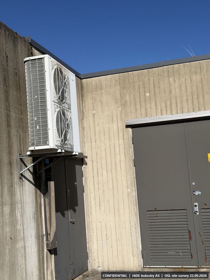
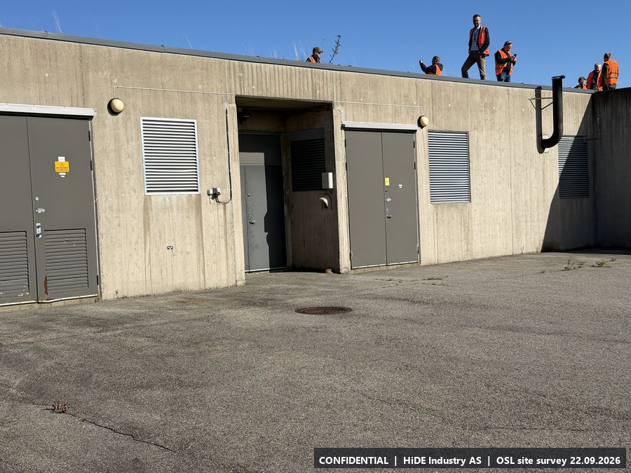
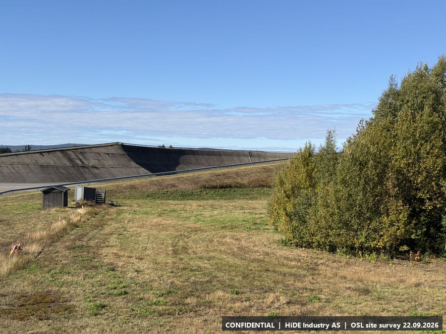
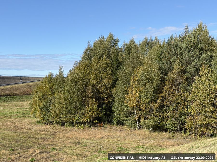
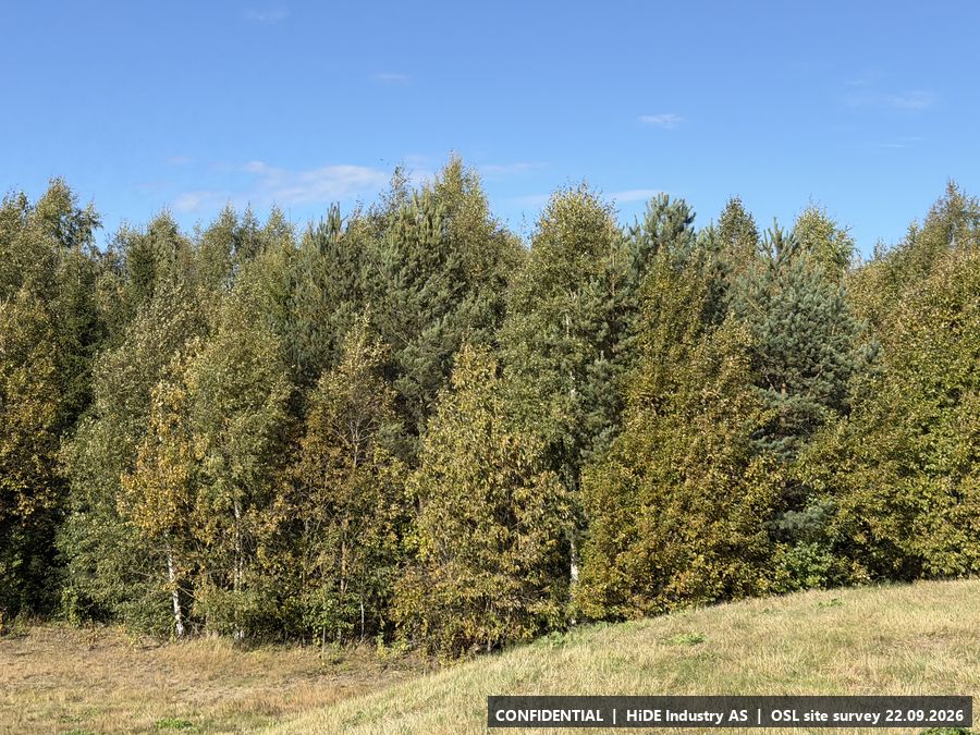
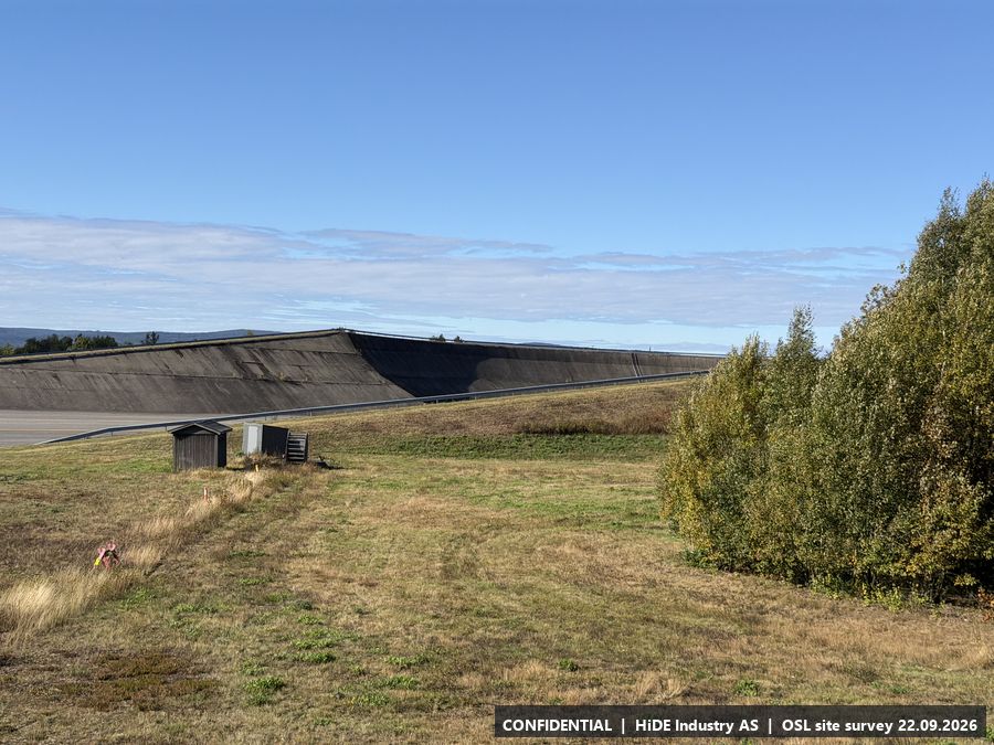
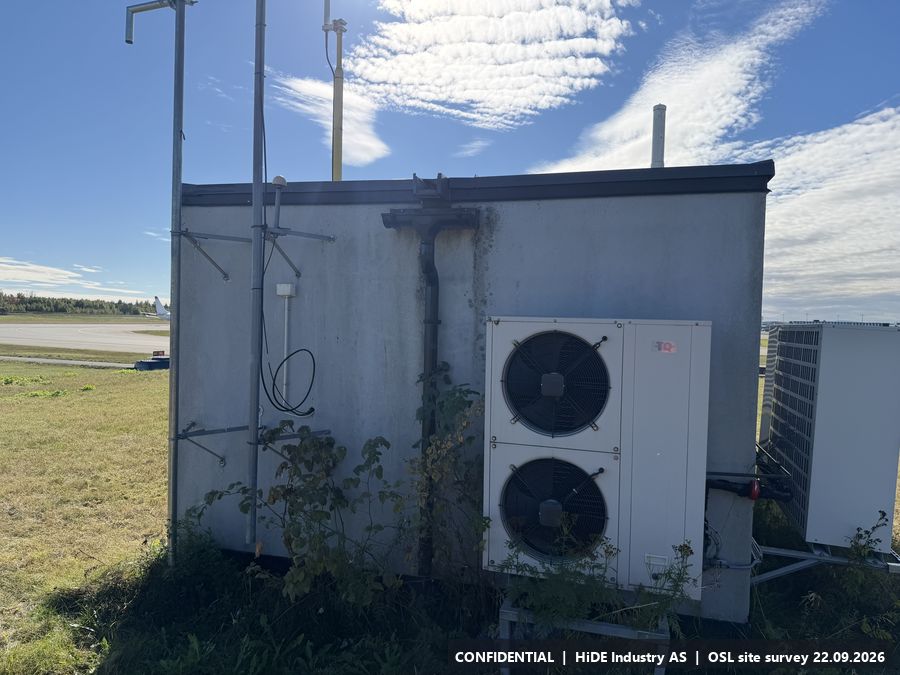
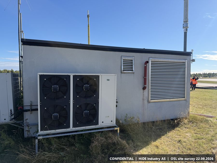
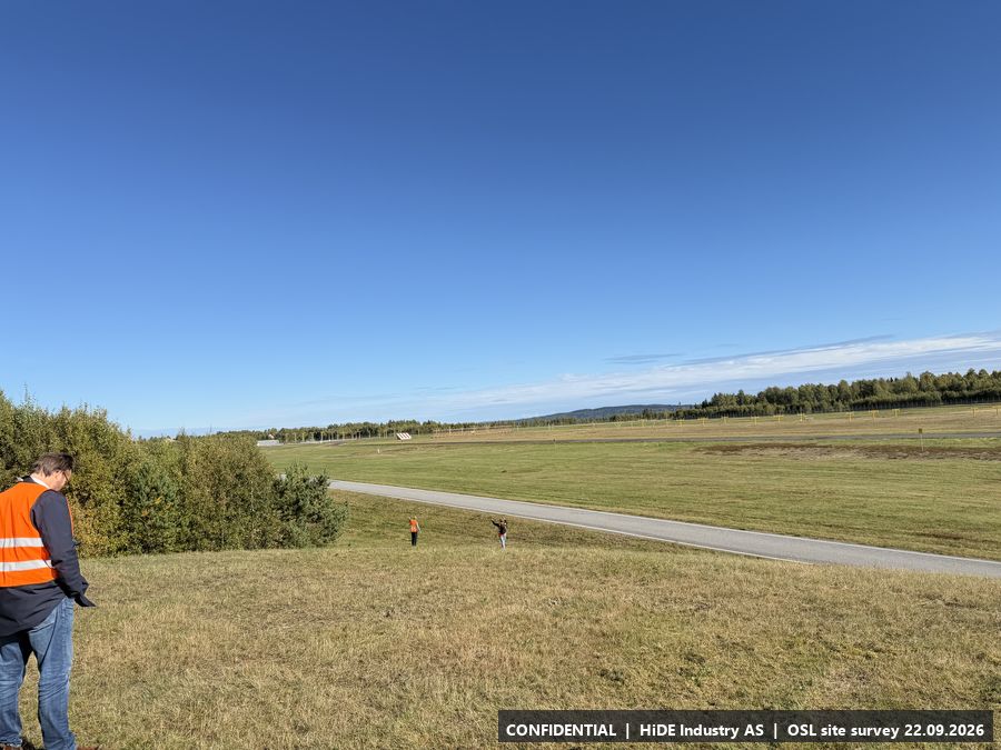
- Concrete building with an accessible flat roof, set into an embankment with birch trees around a smaller metal shelter. Clear view over the eastern apron and taxiways towards the terminal, tower and terminal roof (G).
All 37 photographs from B
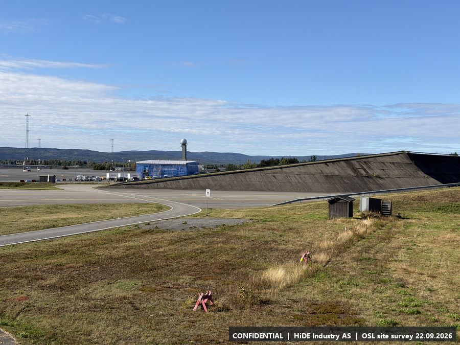
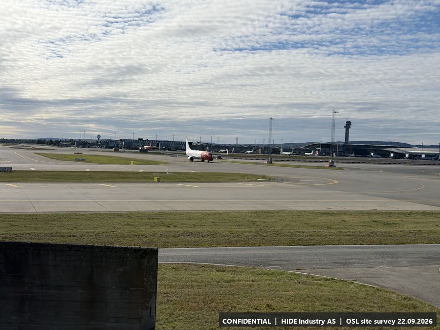
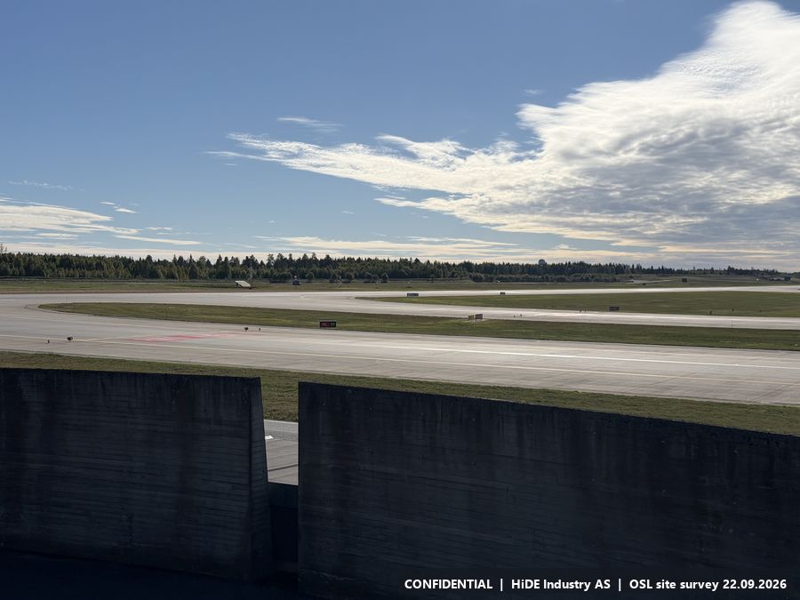
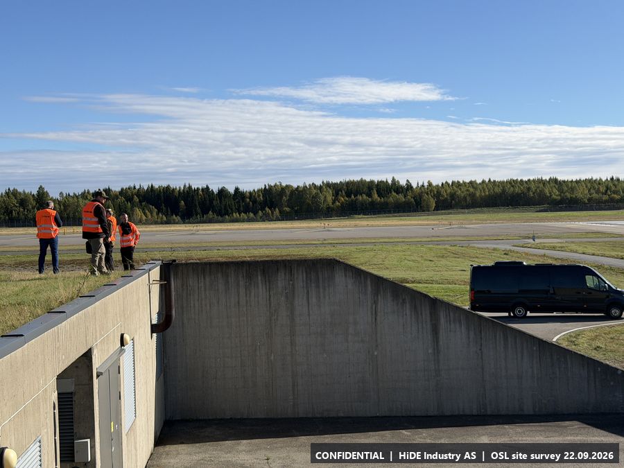
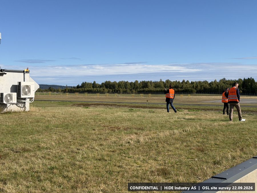
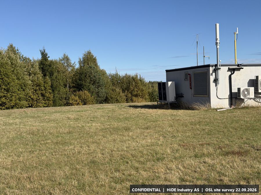
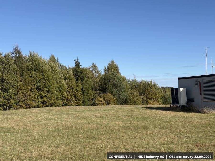
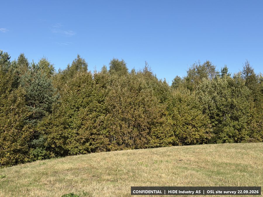
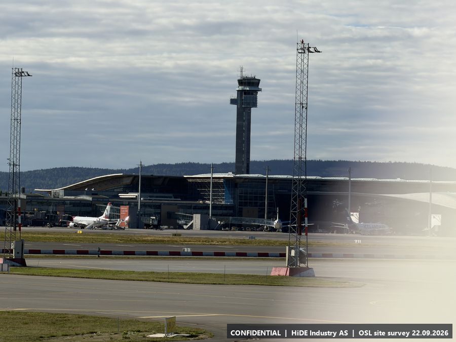
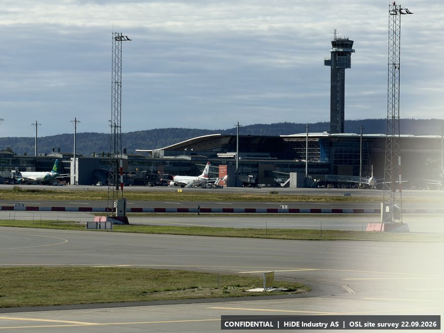
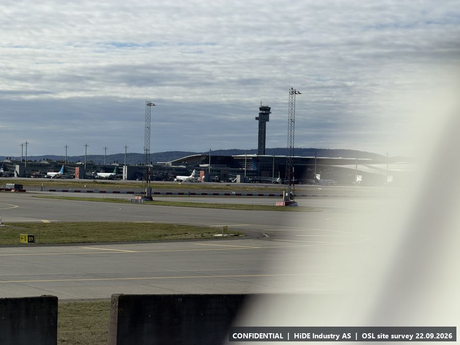
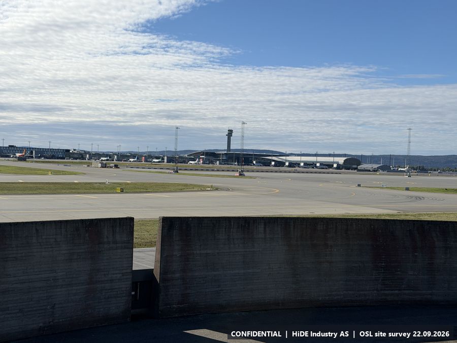
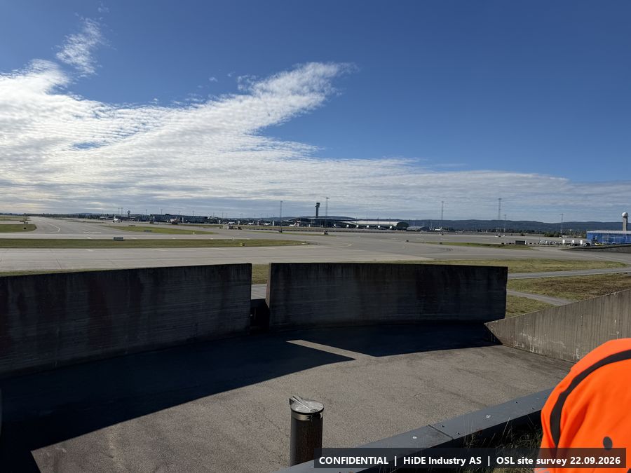
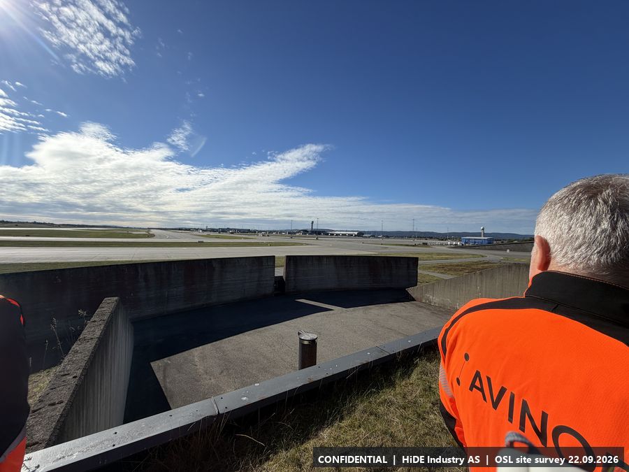
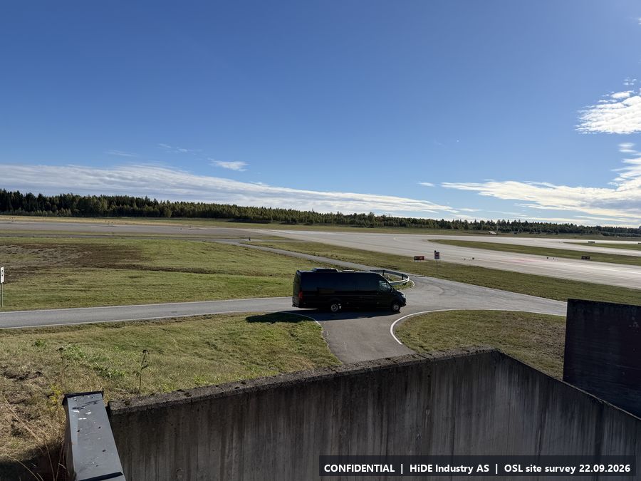
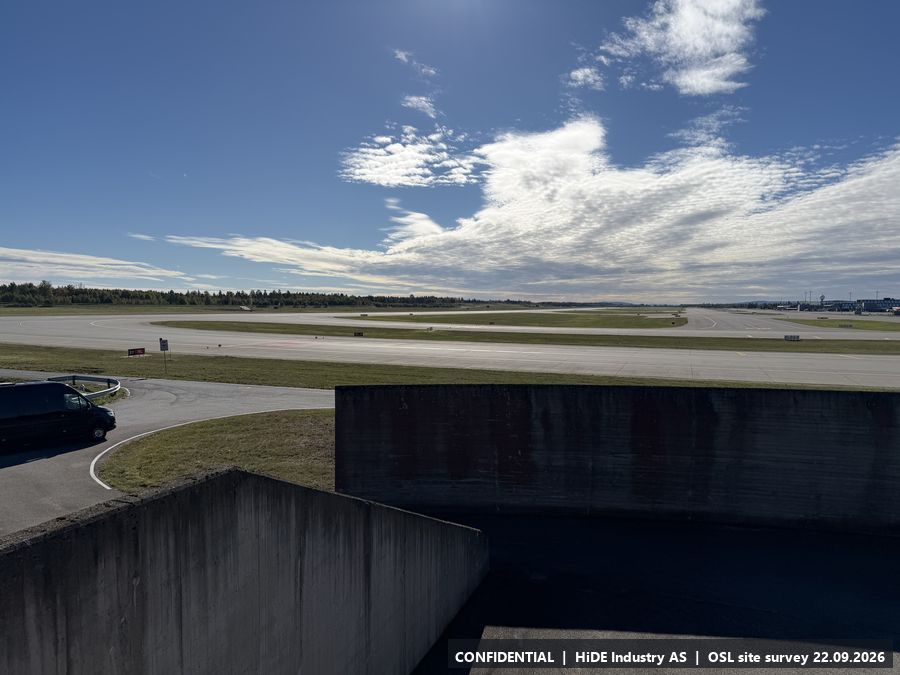
Map screenshots (Norgeskart app) at B: 2
C5.3 Concrete bowl, west side
- Coordinates
- 60.202886, 11.114670 (WGS84)
- Visited
- 12:59 to 13:00 CEST. 9 photographs, camera headings covering approx. 286 degrees. Video: IMG_8624 (in the photo package)
- Elevation
- approx. 222 m above sea level (GPS, hand height)
- Type
- Stop visited on the ground with Avinor escort
- Mounting height
- Not assessed in the field.
- Power
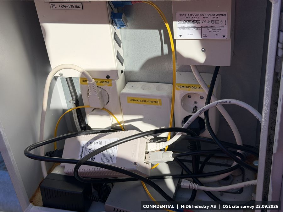
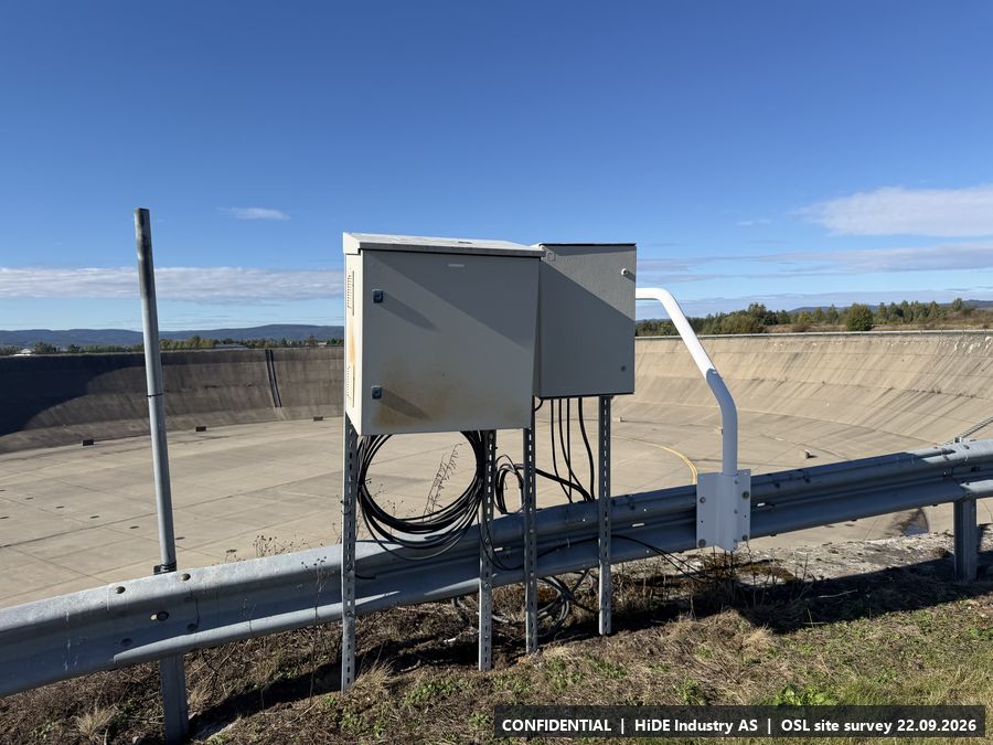
- Maybe. One socket at C (cabinet with fibre and 230 V) and three cabinets around the bowl; probably not enough for everyone. Teledyne FLIR is also considering a trailer at C or between C and D.
- Mobile coverage
- 4G coverage, Telia and Telenor.
- Notes
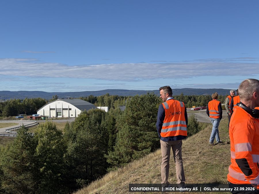
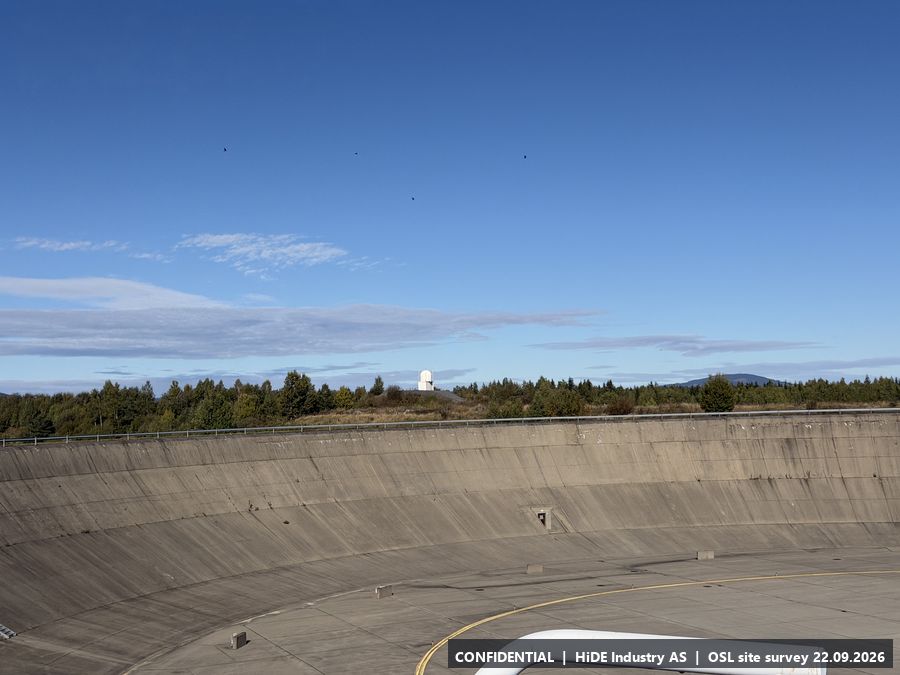
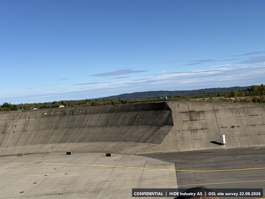
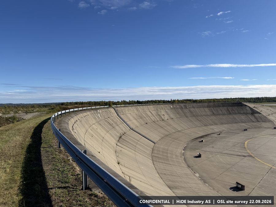
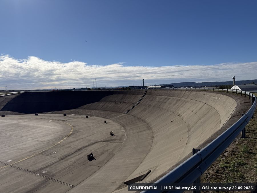
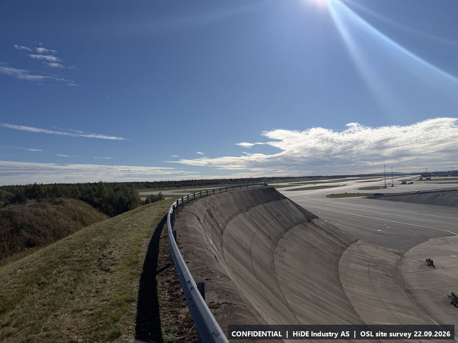
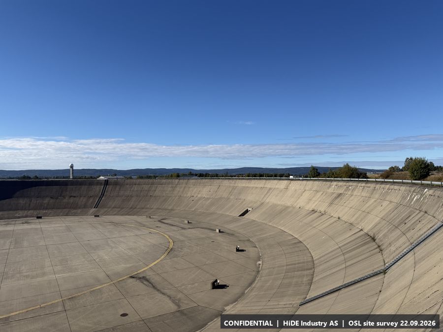
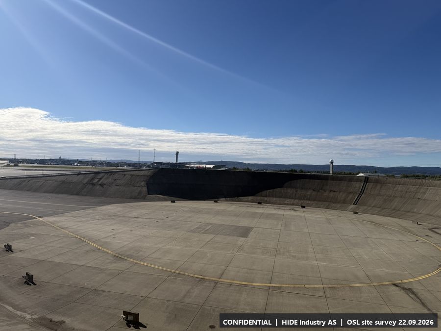
- According to the site visit, equipment may be placed anywhere around the rim of the bowl. Elevated position (approx. 222 m) with a view over the apron, the tower and the terminal. Question raised for Avinor: may cameras be pointed towards the Norwegian Armed Forces area?
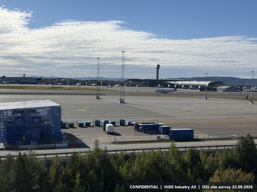
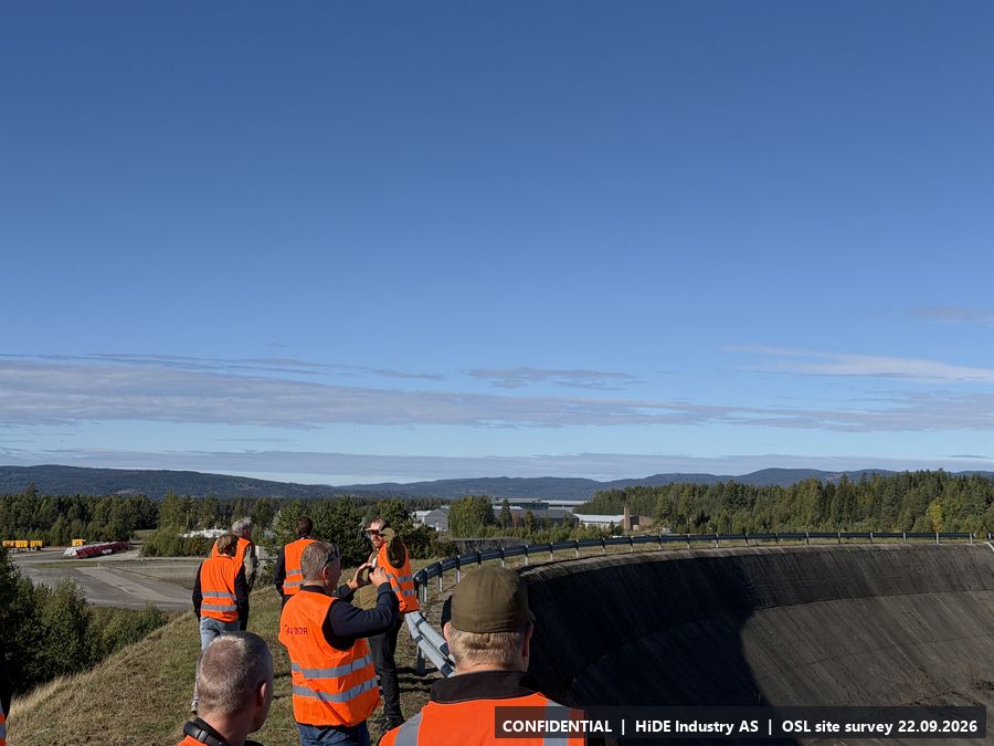
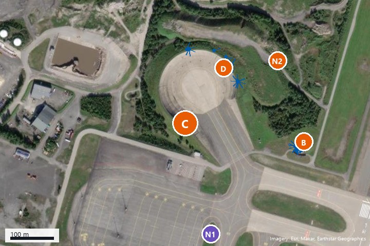
All 9 photographs from C
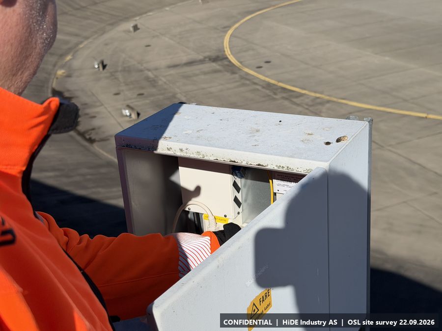
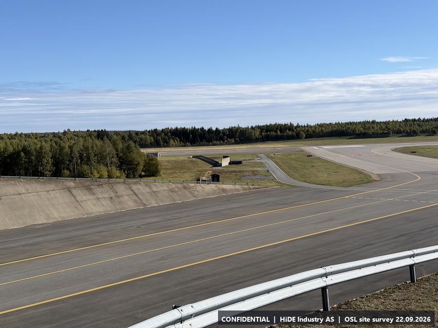
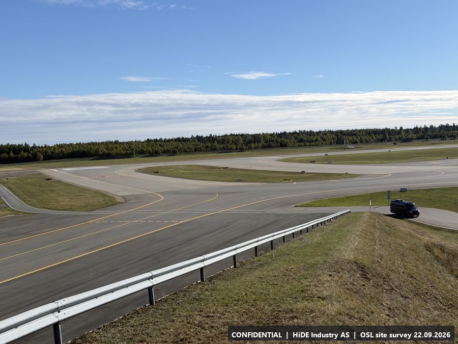
Map screenshots (Norgeskart app) at C: 1
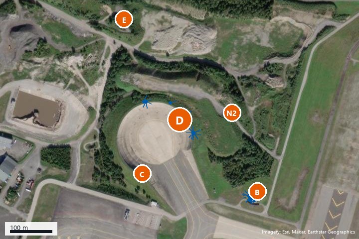
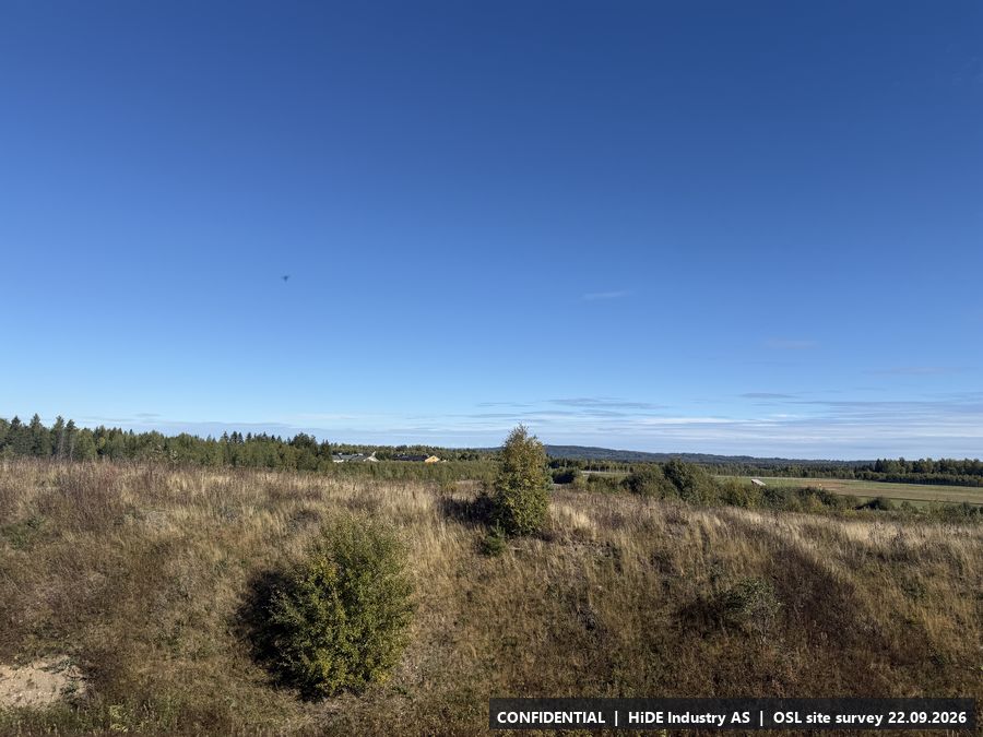
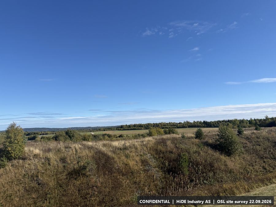
D5.4 Concrete bowl, north rim
- Coordinates
- 60.204037, 11.116285 (WGS84)
- Visited
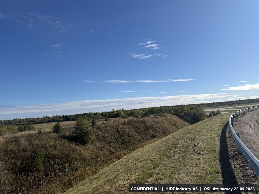
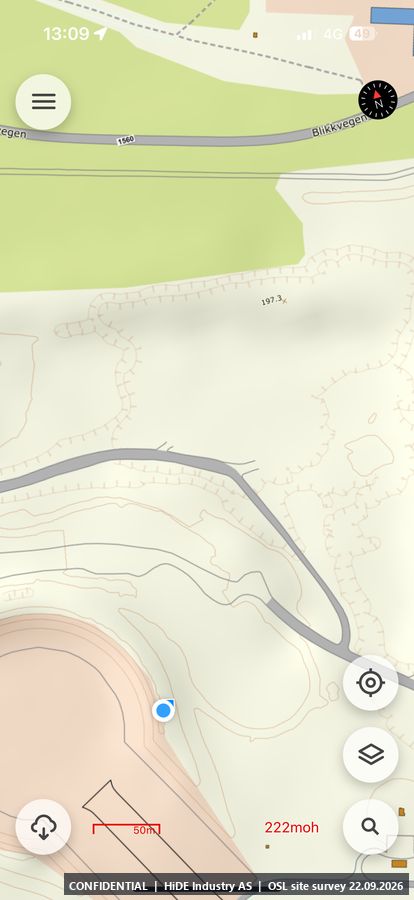
- 13:06 to 13:09 CEST. 25 photographs, camera headings covering approx. 315 degrees. Video: IMG_8625 (in the photo package)
- Elevation
- approx. 220 m above sea level (GPS, hand height)
- Type
- Stop visited on the ground with Avinor escort
- Mounting height
- Not assessed in the field.
- Power
- As C.
- Mobile coverage
- 4G coverage, Telia and Telenor.
- Notes
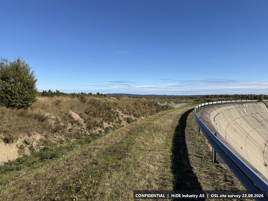
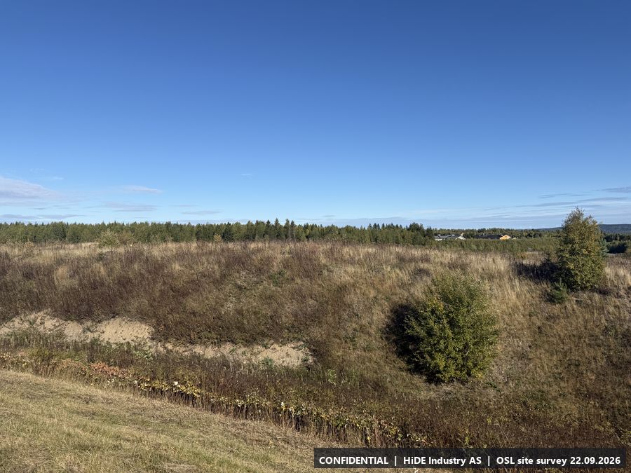
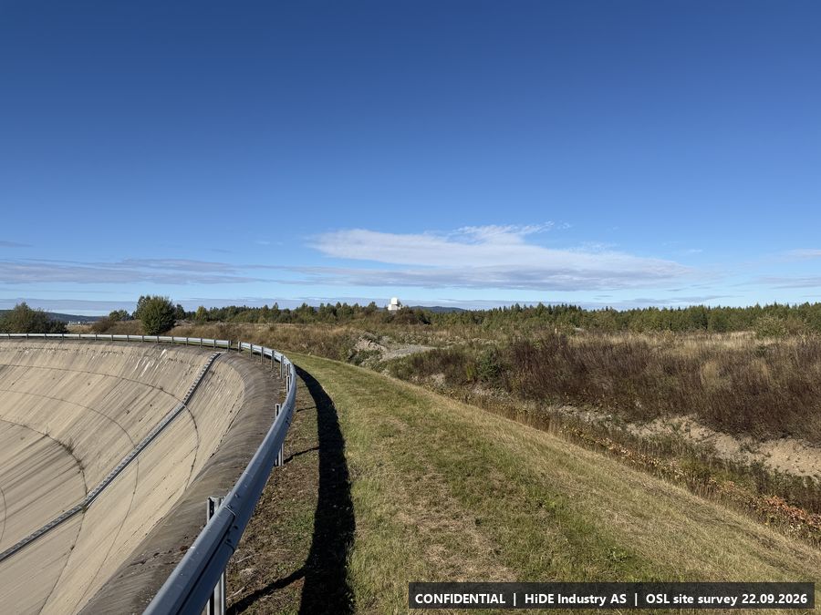
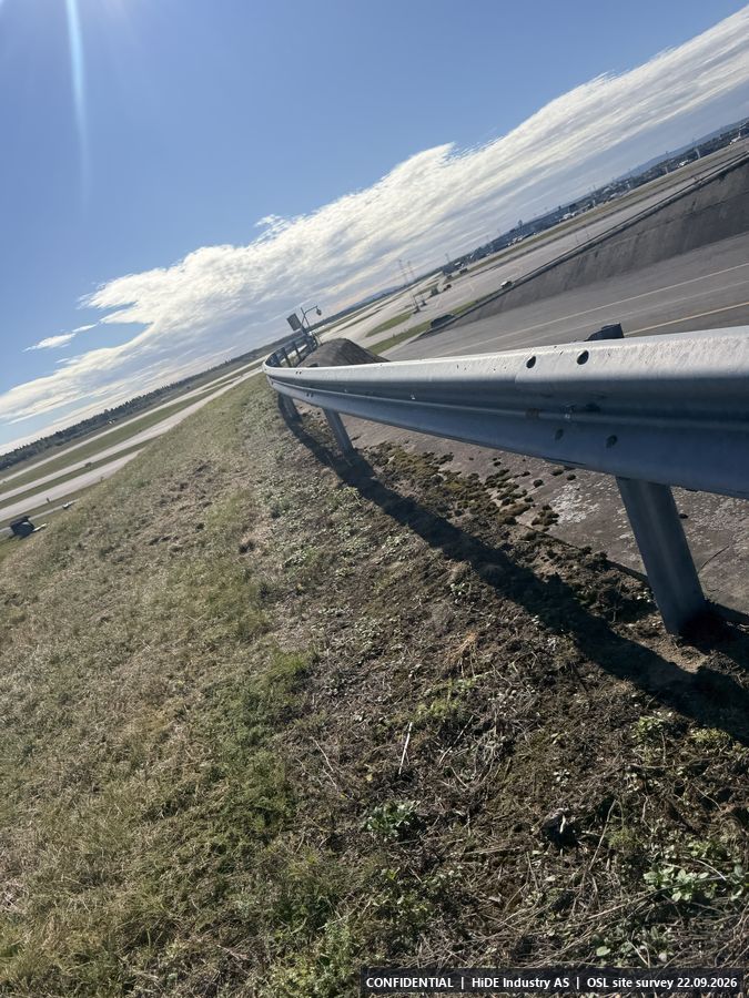
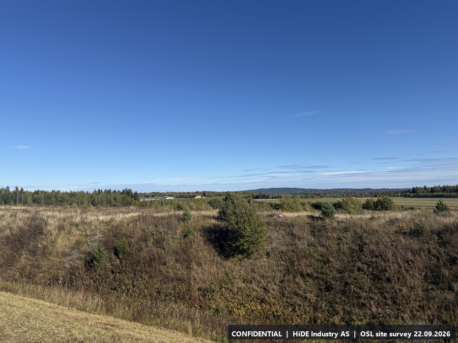
- Same conditions as C. Guard rail along the rim (metal). View north over the forest and east towards the eastern runway.
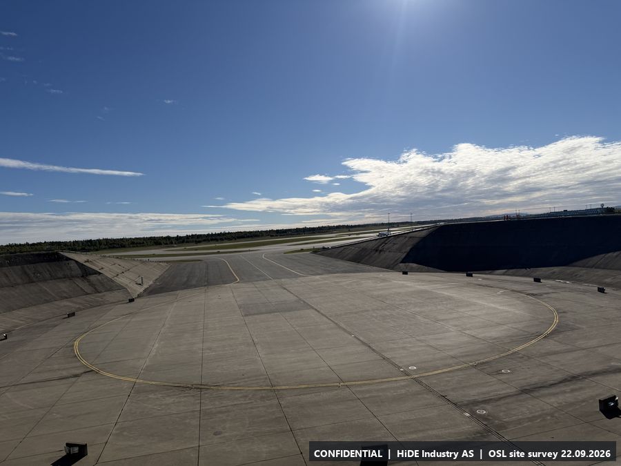
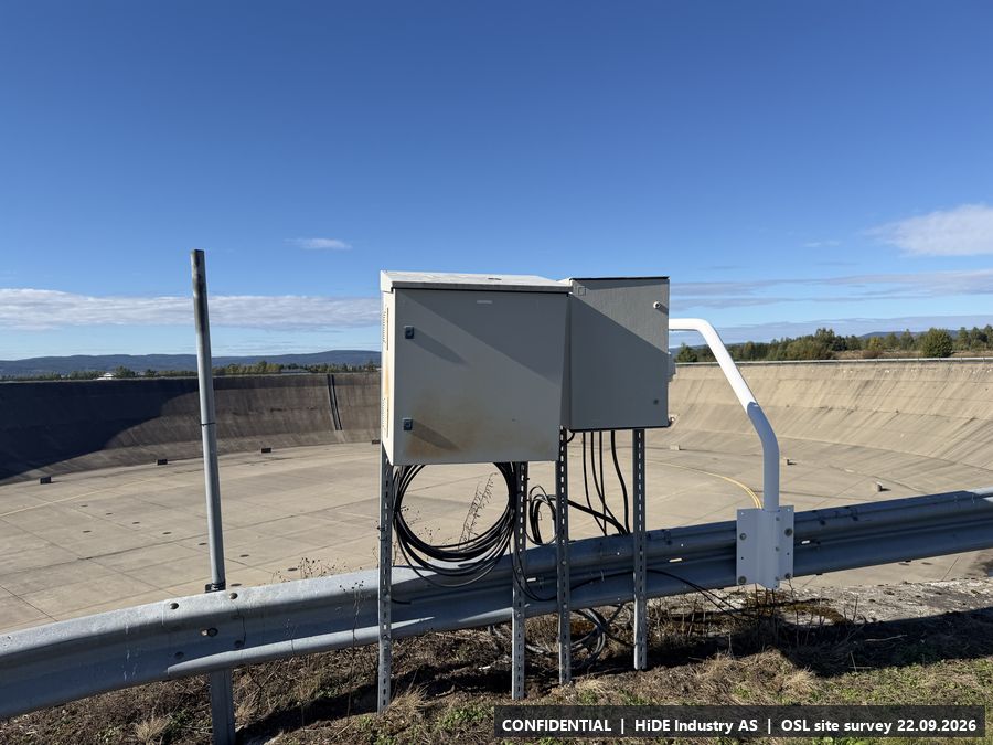
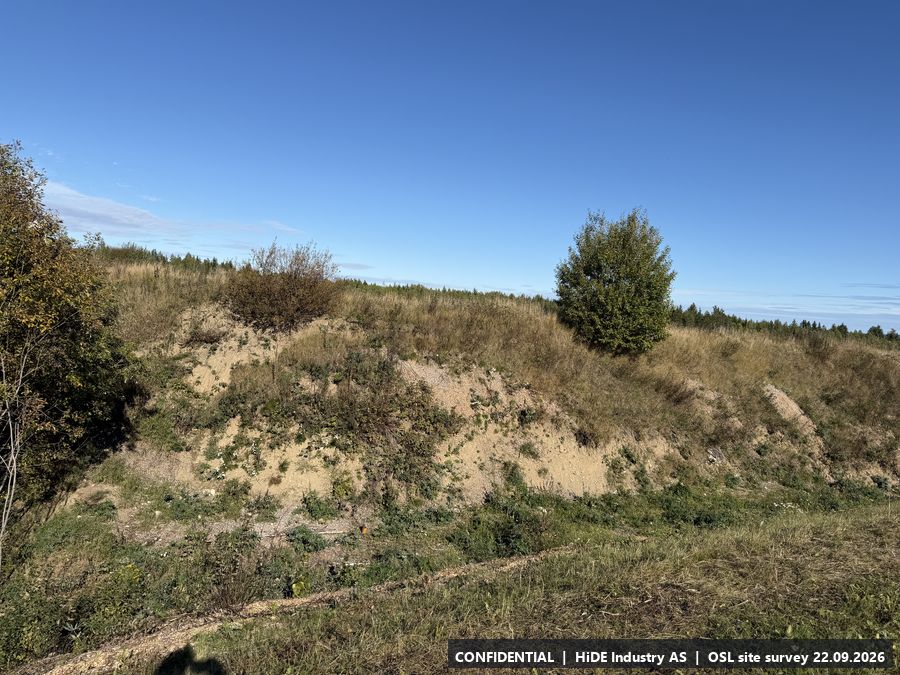
All 25 photographs from D
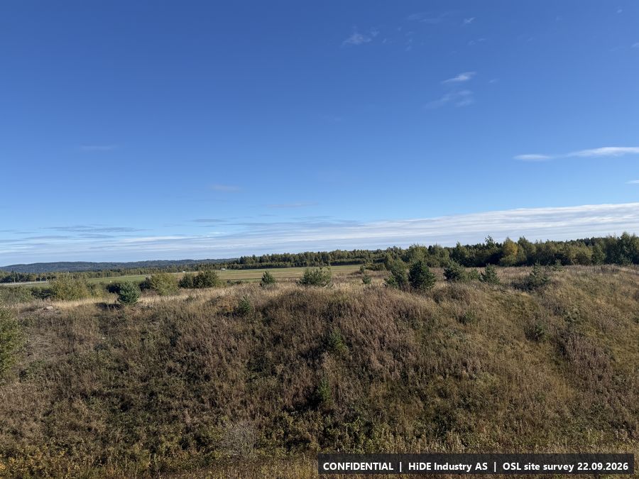
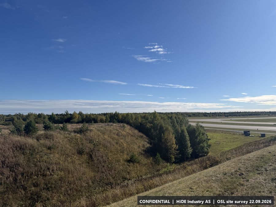
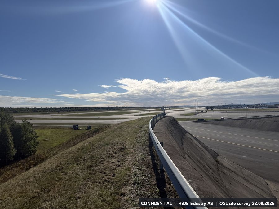
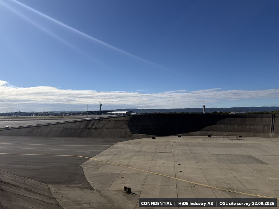
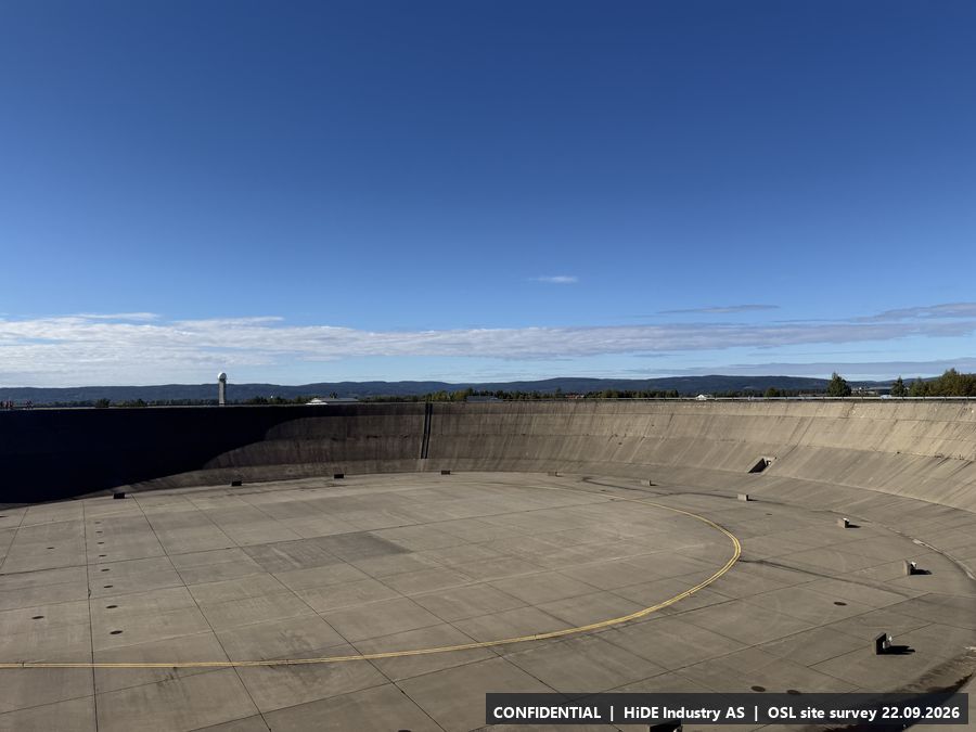
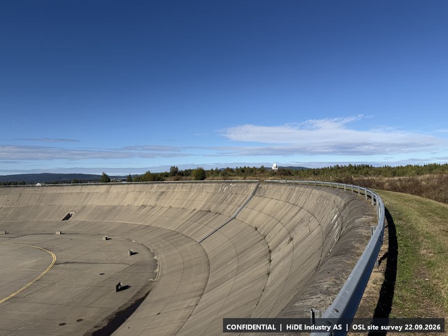
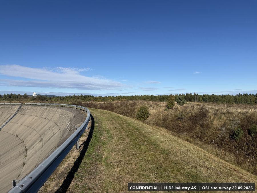
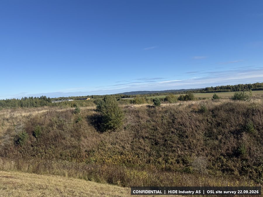
Map screenshots (Norgeskart app) at D: 1
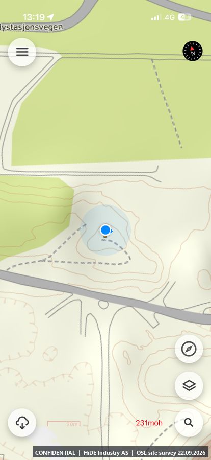
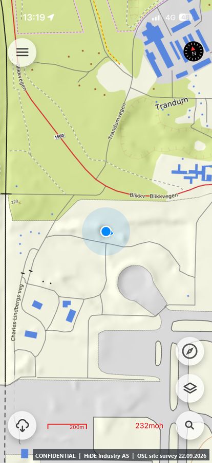
E5.5 Hilltop north, weather radar container
- Coordinates
- 60.206193, 11.113885 (WGS84)
- Visited
- 13:19 to 13:22 CEST. 23 photographs, camera headings covering approx. 312 degrees
- Elevation
- approx. 229 m above sea level (GPS, hand height)
- Type
- Stop visited on the ground with Avinor escort
- Mounting height
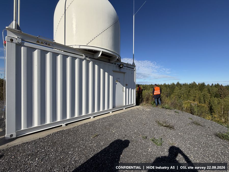
- Not higher than the container itself.
- Power
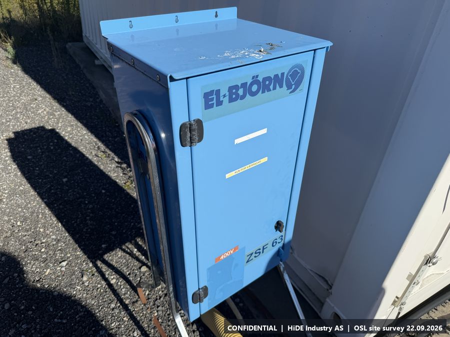
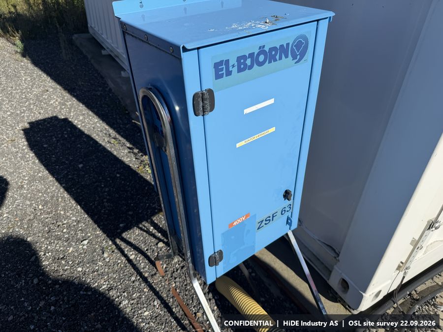
- Power (cabinet at the container).
- Mobile coverage
- Not checked.
- RF equipment at the site
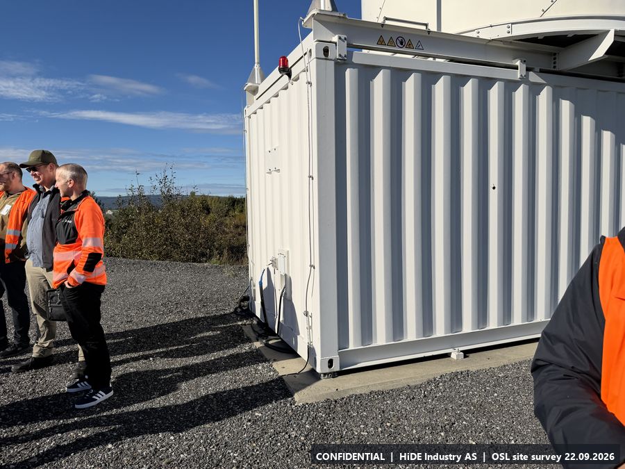
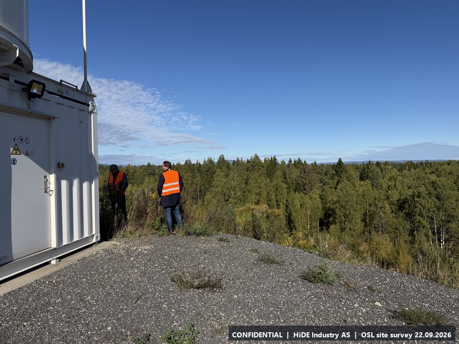
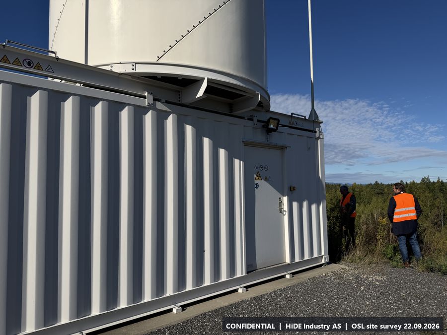
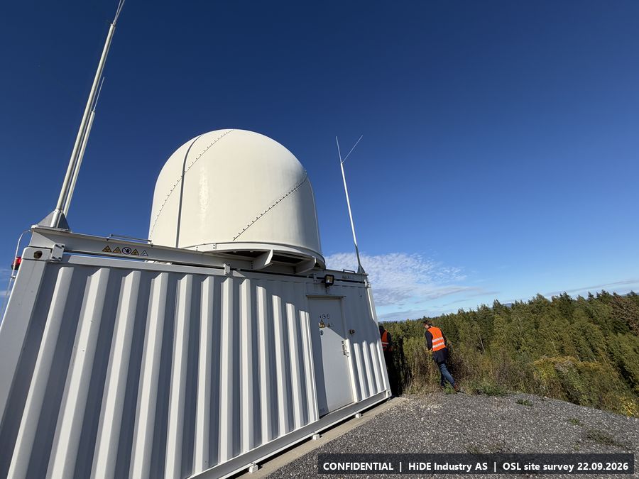
- Weather radar in the container: 9 GHz, 100 kW, one rotation per 2.5 min, scanning in 7 sectors (as stated on site).
- Notes
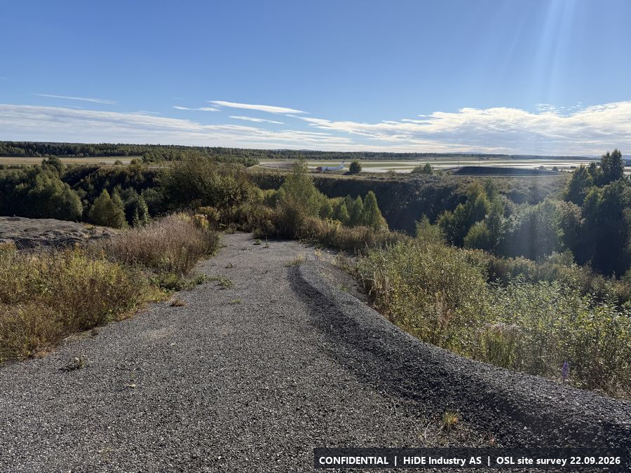
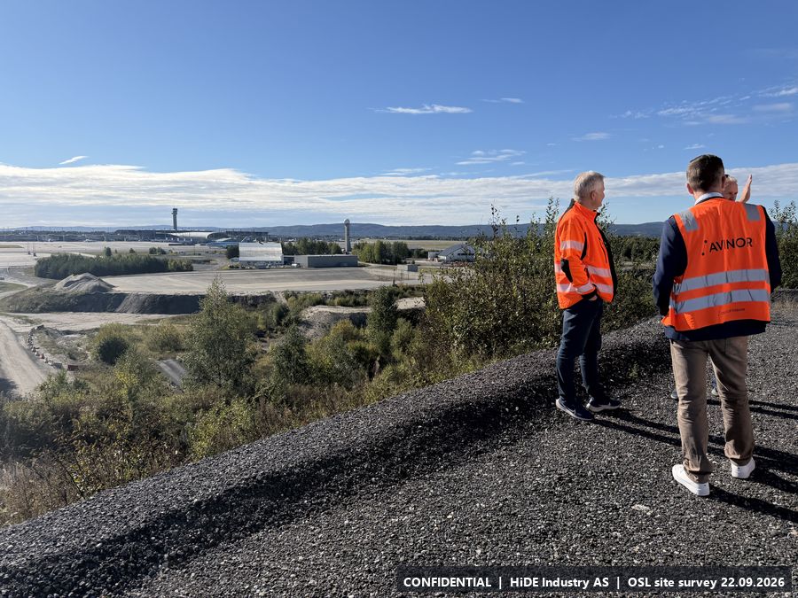
- Highest point surveyed (approx. 229 m), gravel plateau with 360 degree view over the airport and the surrounding forest. Existing container with radome housing an X-band weather radar.
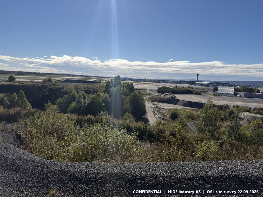
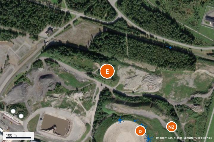
All 23 photographs from E
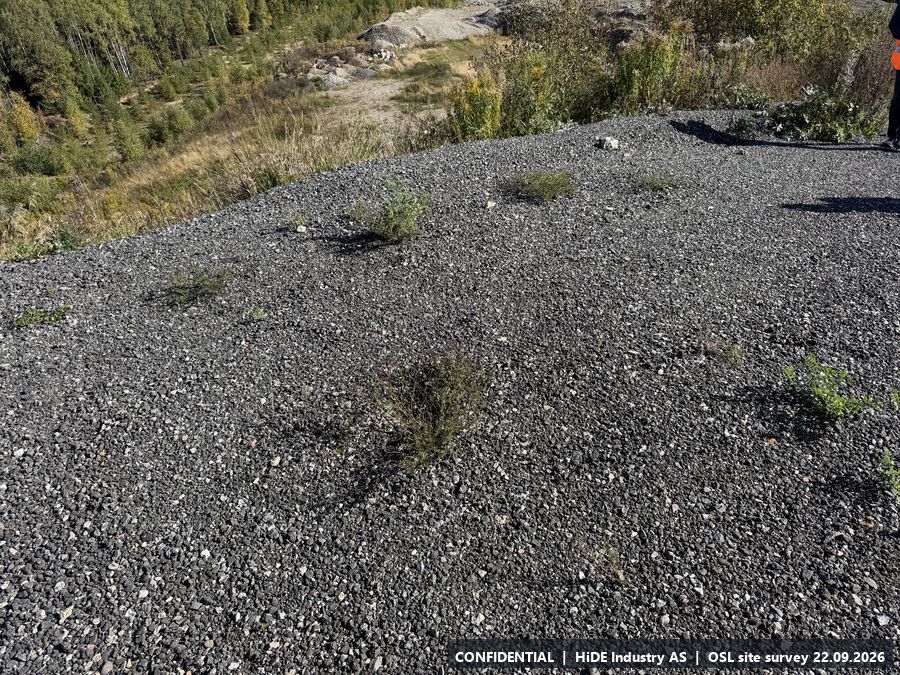
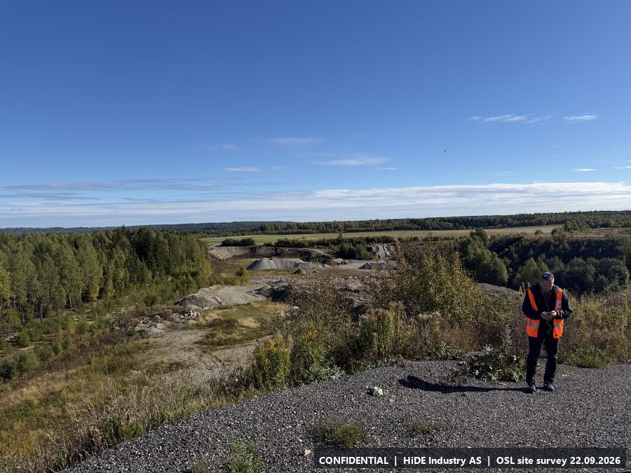
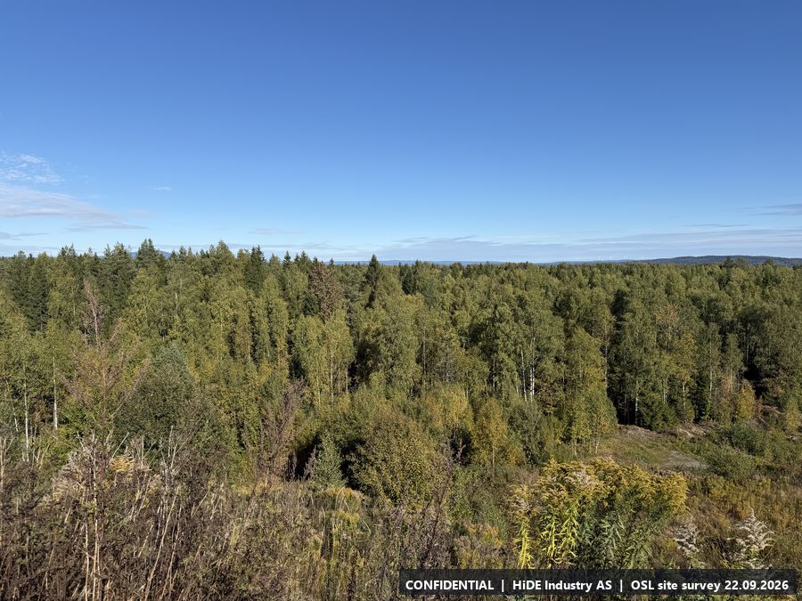
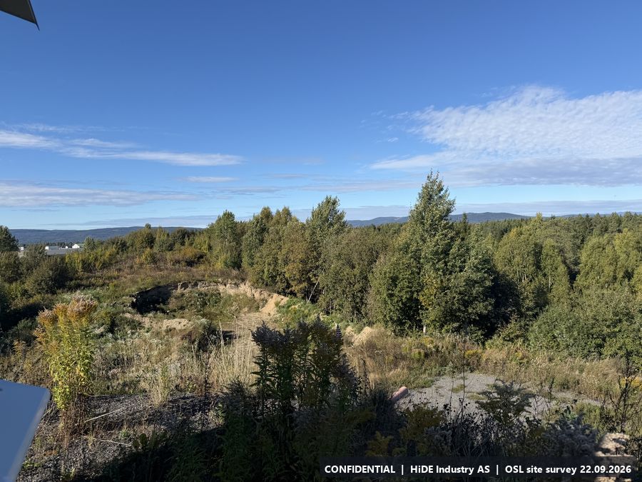
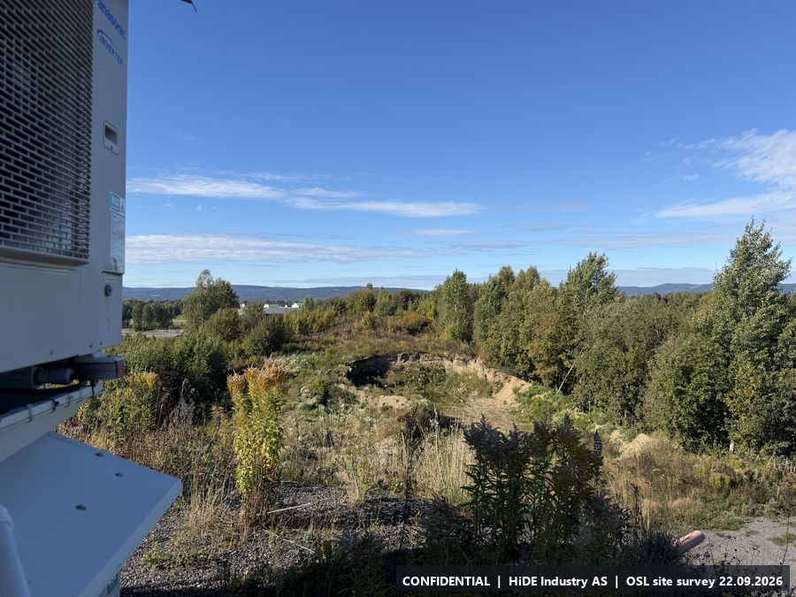
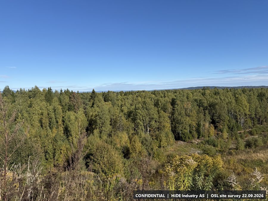
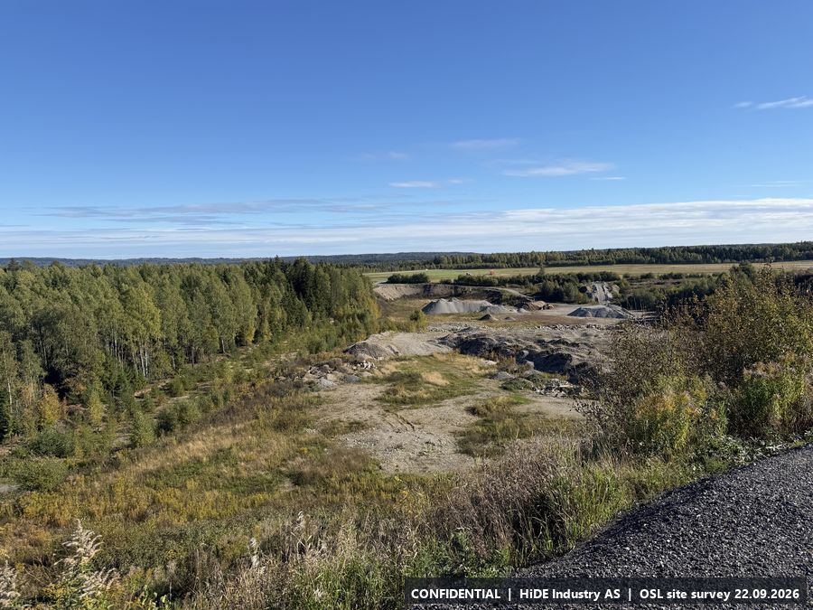
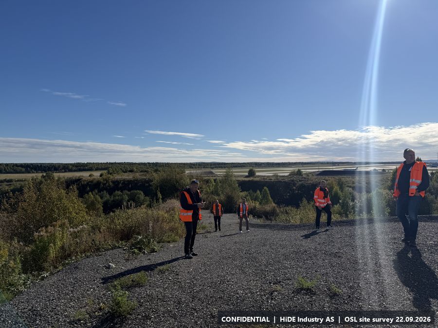
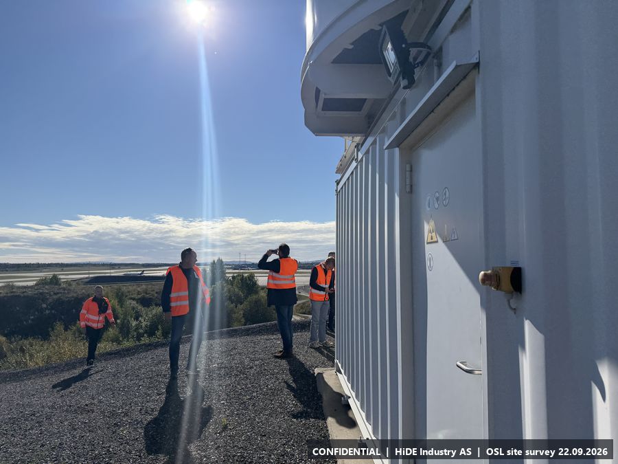
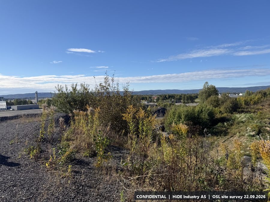
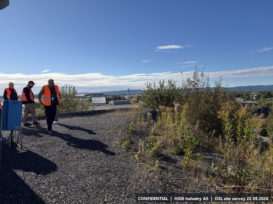
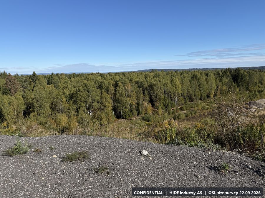
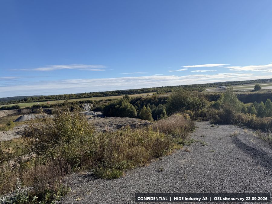
Map screenshots (Norgeskart app) at E: 3
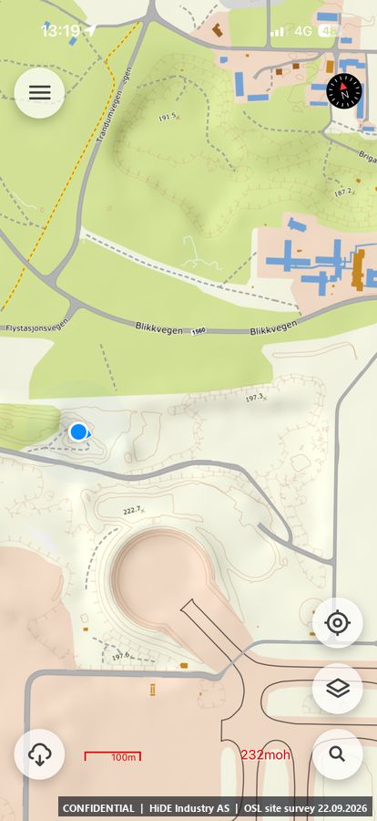
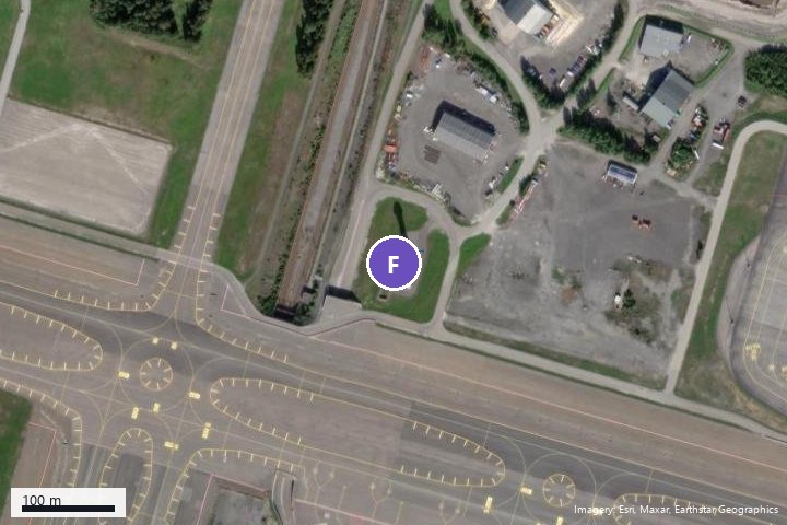
F5.6 Control tower
- Coordinates
- 60.201386, 11.103408 (WGS84)
- Visited
- 13:32 to 13:33 CEST. 2 photographs, camera headings covering approx. 3 degrees
- Elevation
- approx. 208 m above sea level (GPS, hand height)
- Type
- Stop visited on the ground with Avinor escort
- Mounting height
- Not assessed.
- Power
- Power.
- Mobile coverage
- Not checked.
- RF equipment at the site
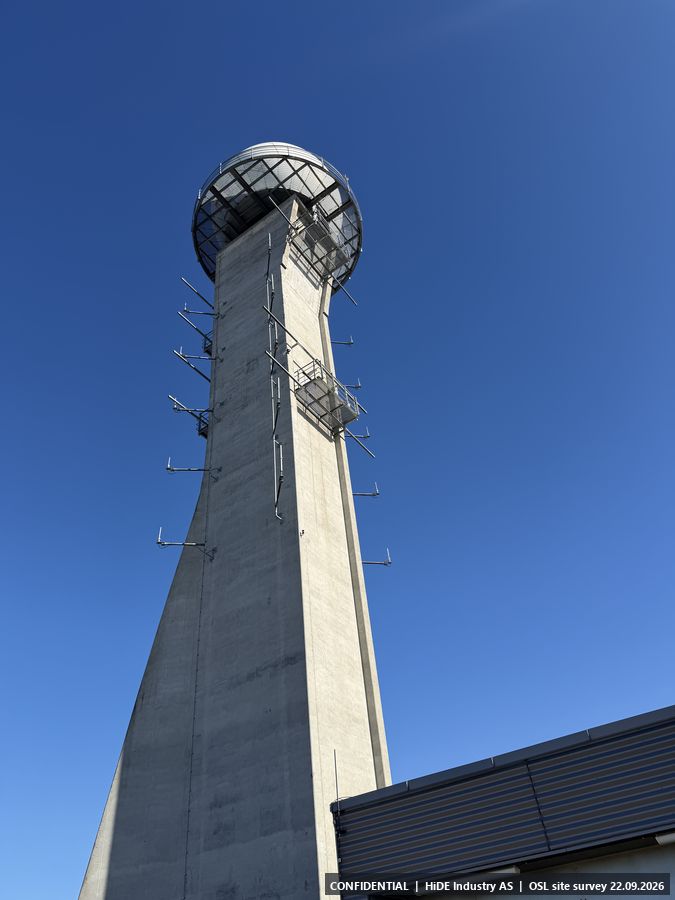
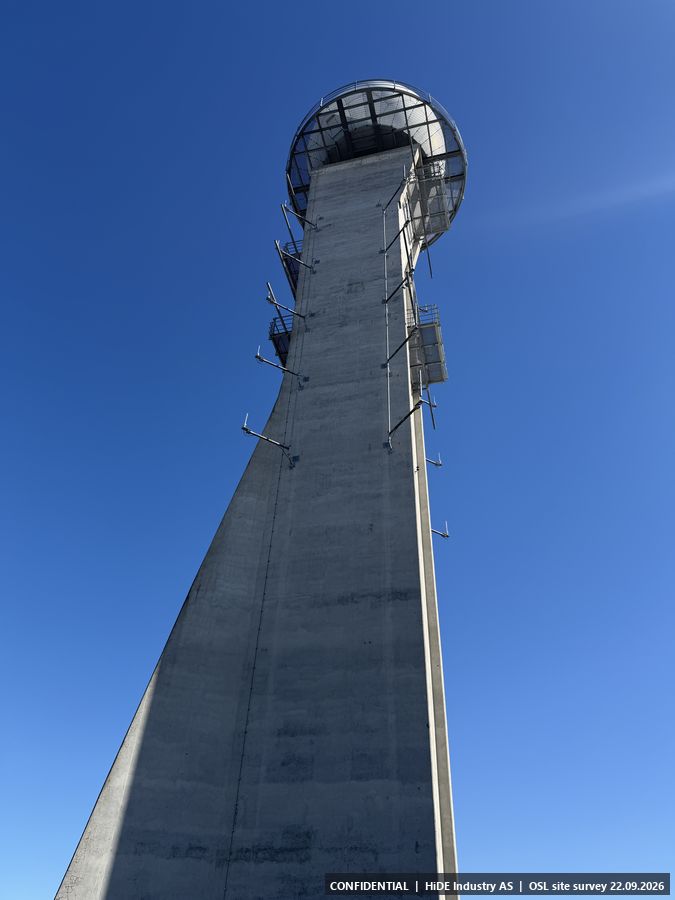
- VHF, UHF, 1030 MHz, 1090 MHz, GPS receiver, and the large 9 GHz radar on top of the tower.
- Notes
- Avinor's air traffic control tower, about 90 m high, with the surveillance radar in the spherical structure on top. Dense RF environment.
All 2 photographs from F
Map screenshots (Norgeskart app) at F: 2
G5.7 Terminal roof
- Coordinates
- 60.194706, 11.095347 (WGS84)
- Visited
- 13:48 to 13:53 CEST. 29 photographs, camera headings covering approx. 322 degrees
- Elevation
- approx. 231 m above sea level (GPS, hand height)
- Type
- Stop visited on the ground with Avinor escort
- Mounting height
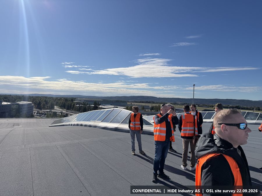
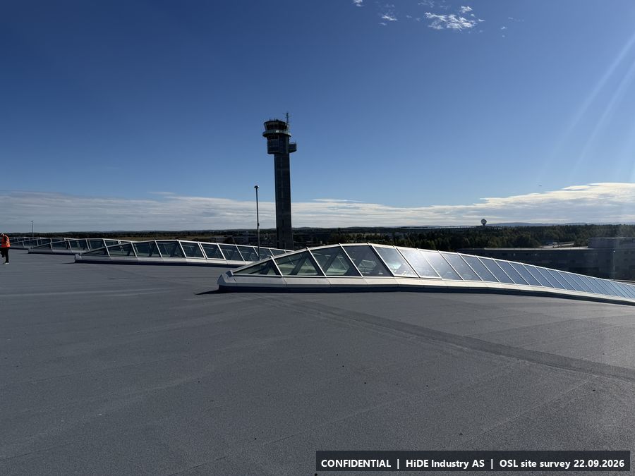
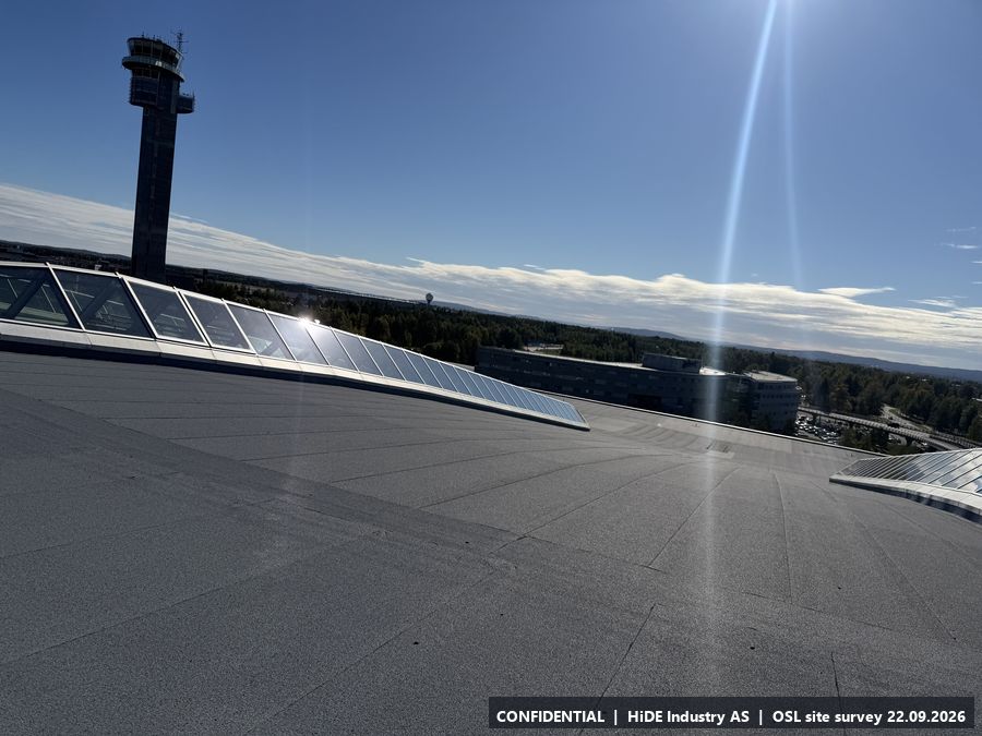
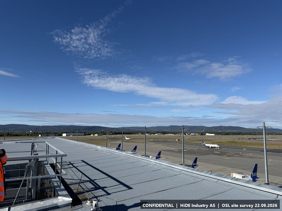
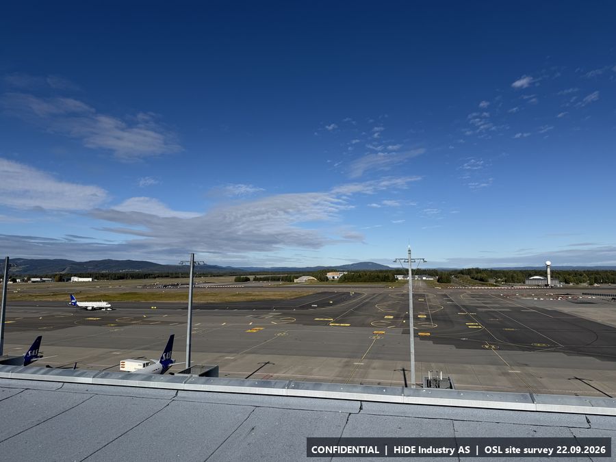
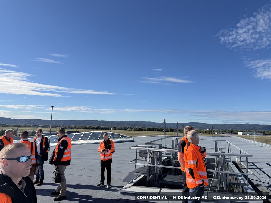
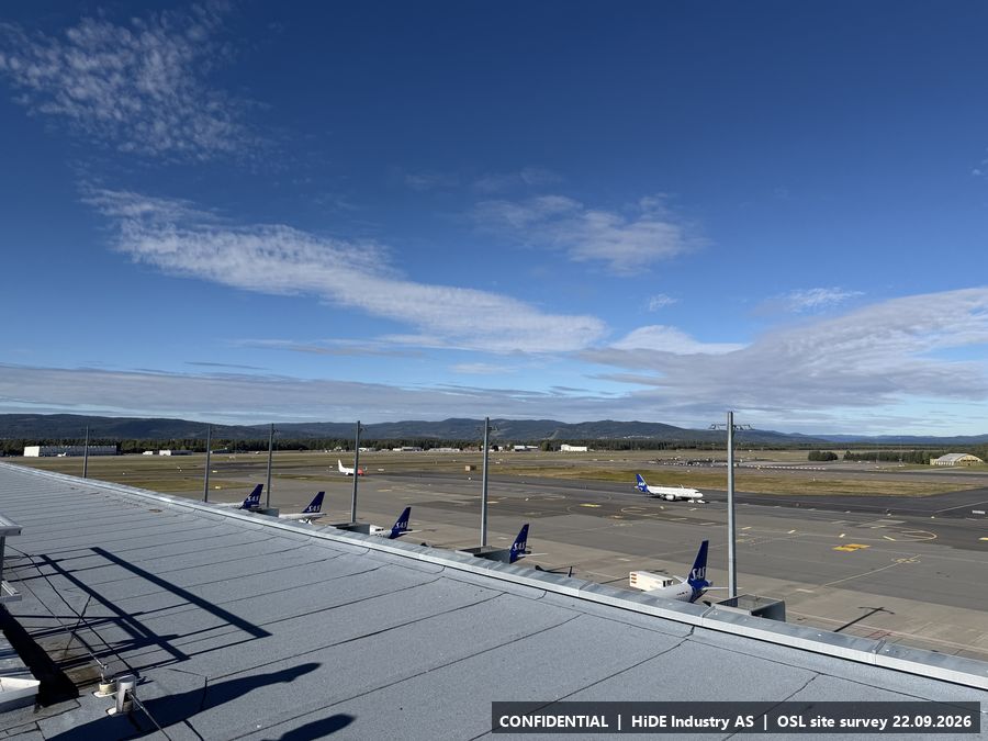
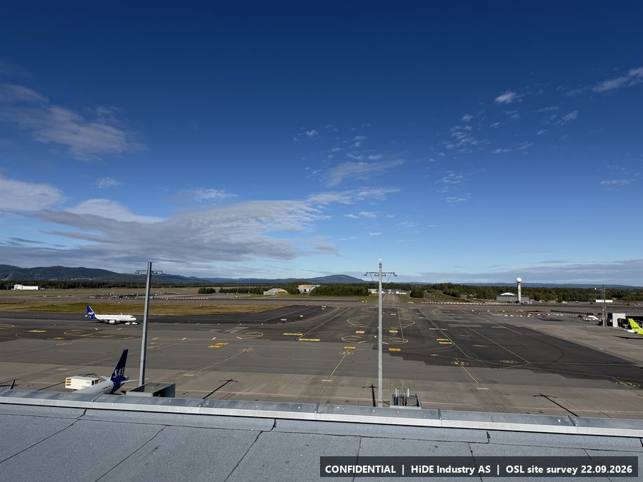
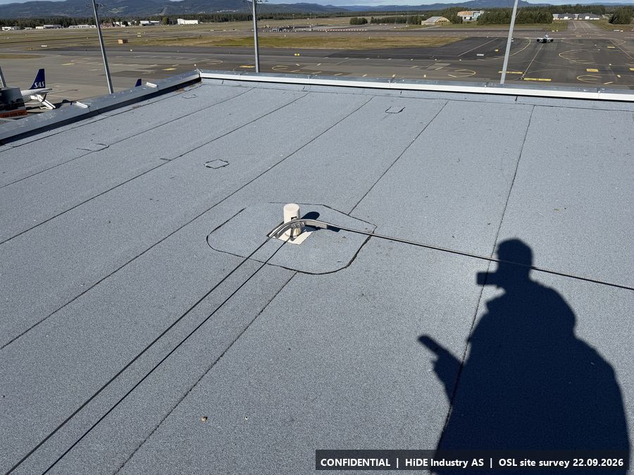
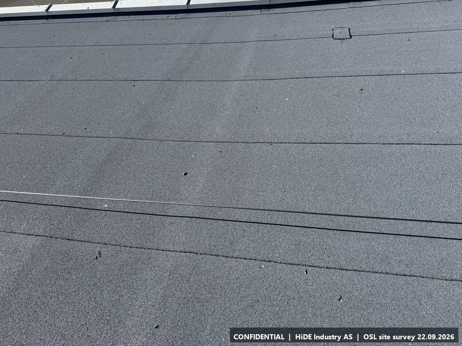
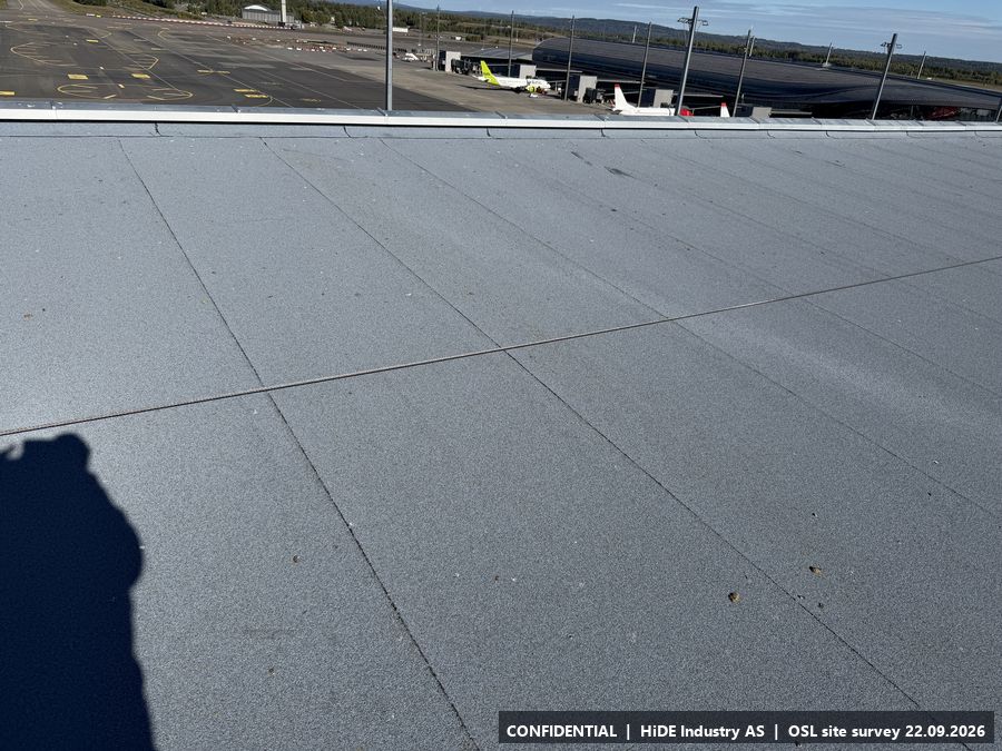
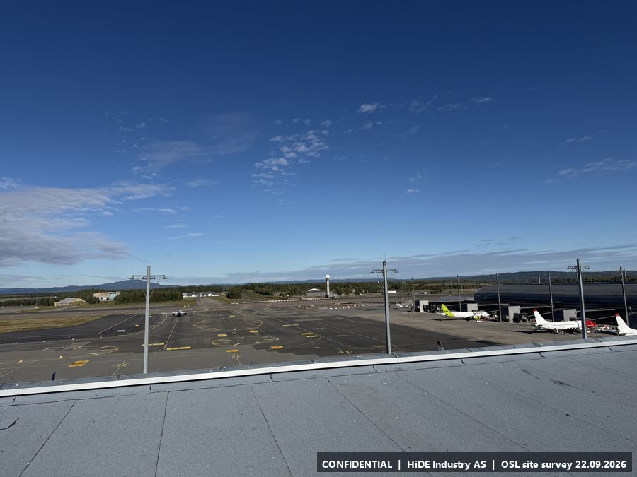
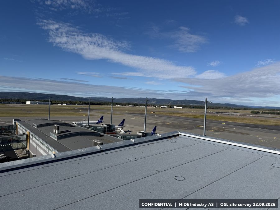
- Equipment can be set up anywhere on the roof. The light masts seen in the foreground of the photos set the height limit for a mast.
- Power
- Power.
- Mobile coverage
- East side of the roof: 5G. West side: 4G. Applies to both Telia and Telenor.
- Notes
- Large flat roof approx. 20 m above the apron, roughly 231 m elevation. Ballast weights and securing are required for a tripod. Overview of both aprons, the tower by the terminal (N4) and the piers.
All 29 photographs from G
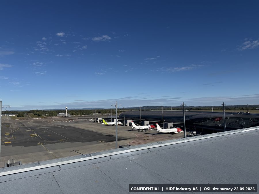
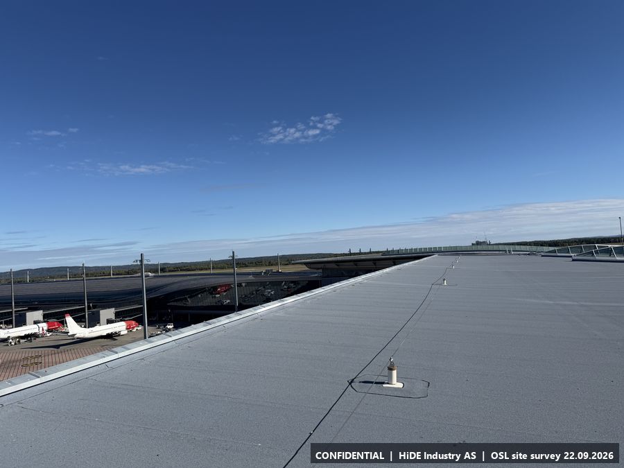
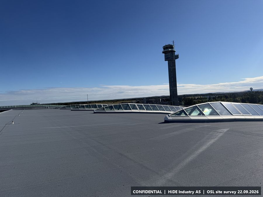
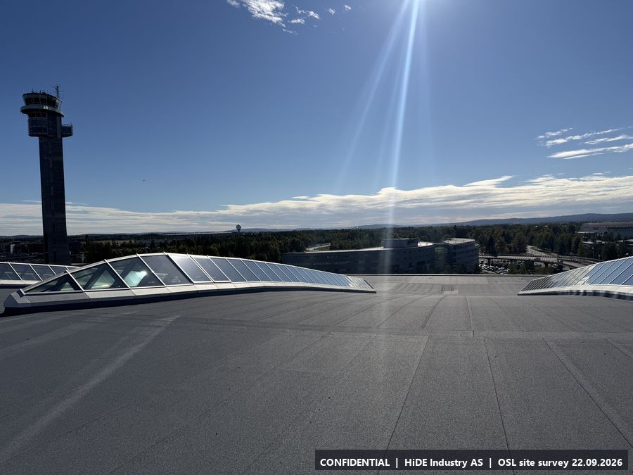
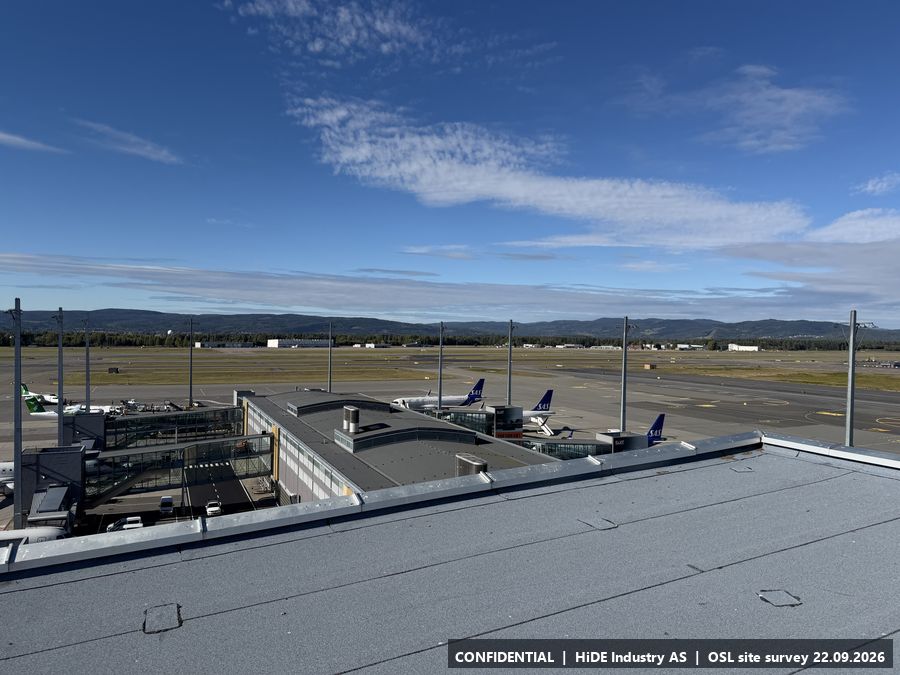
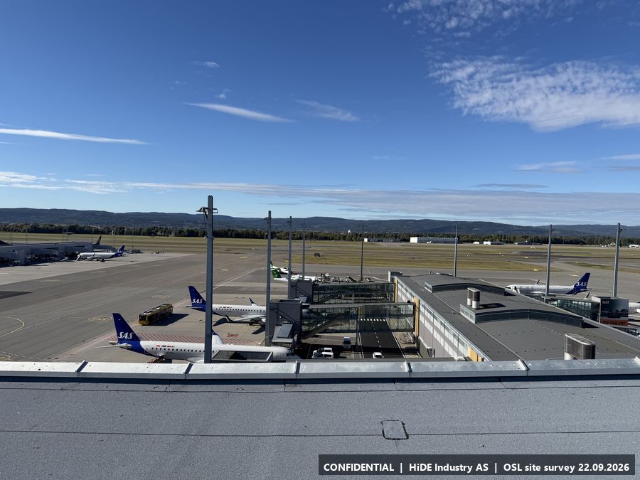
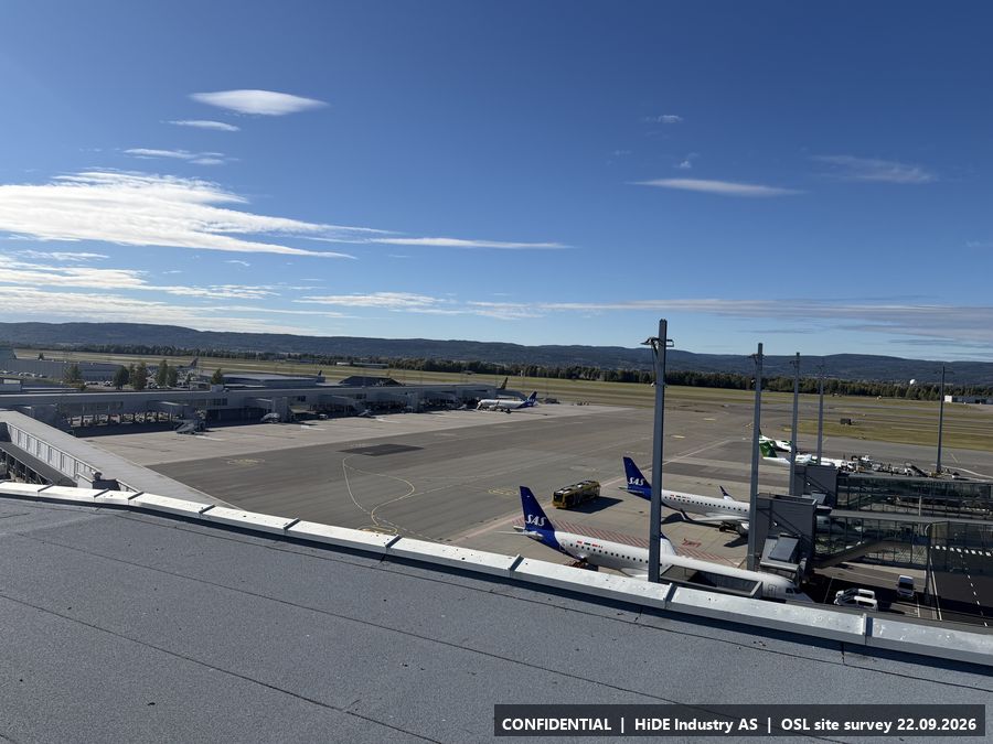
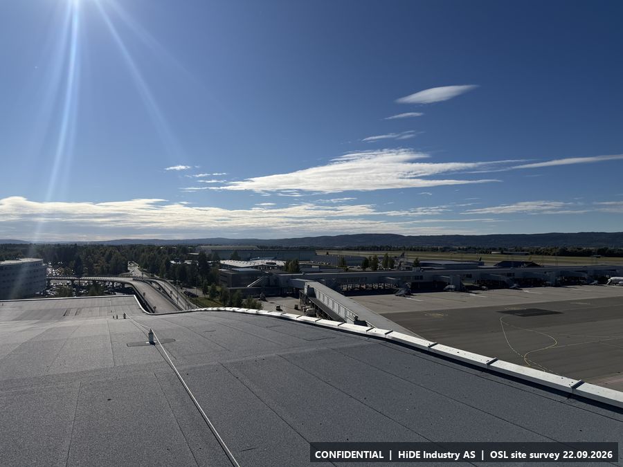
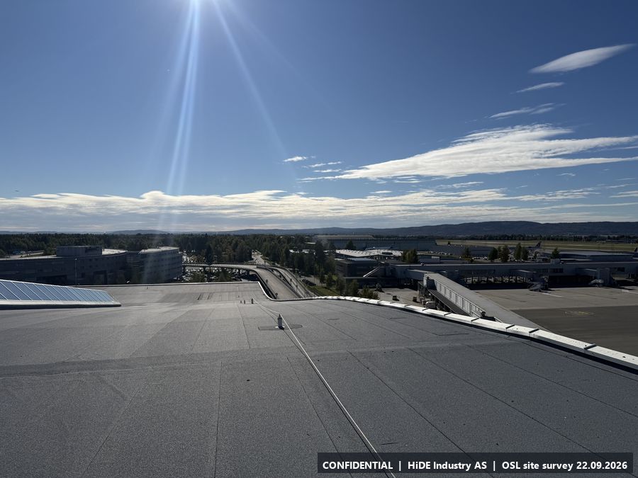
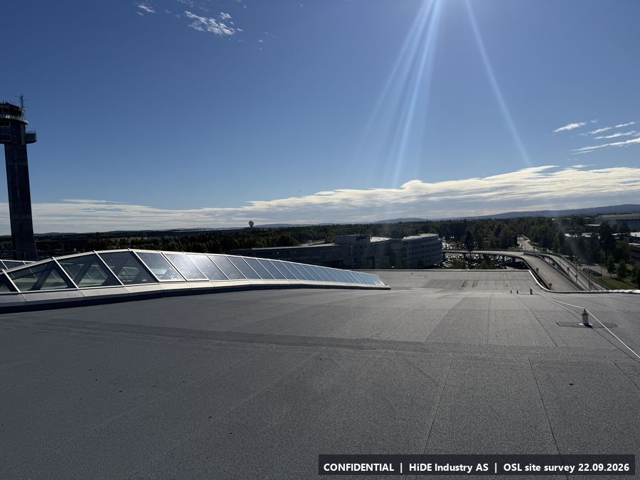
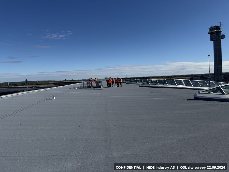
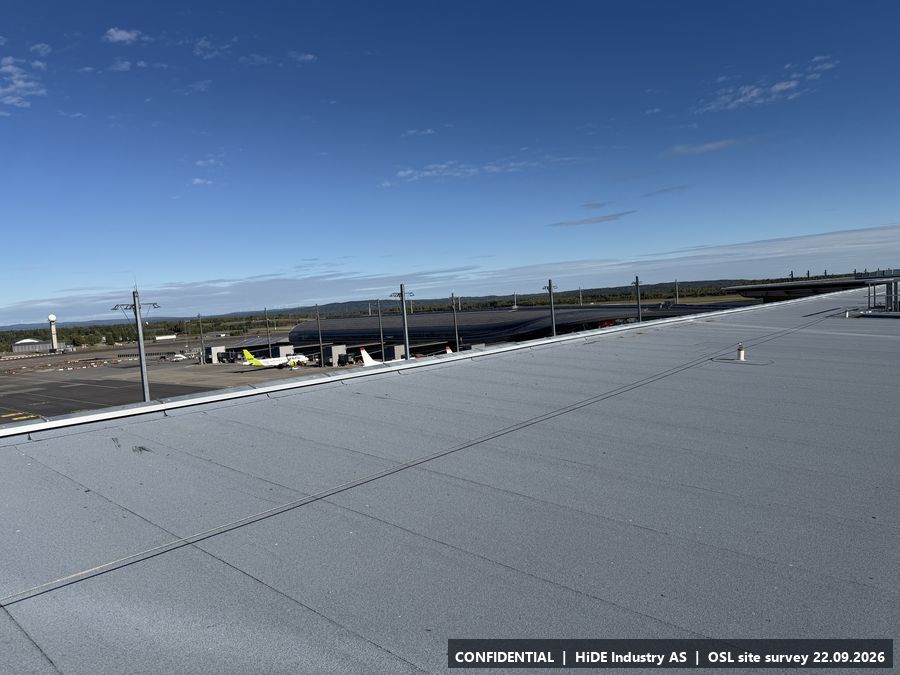
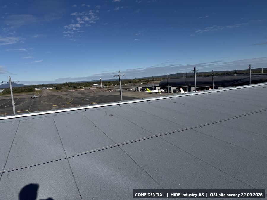
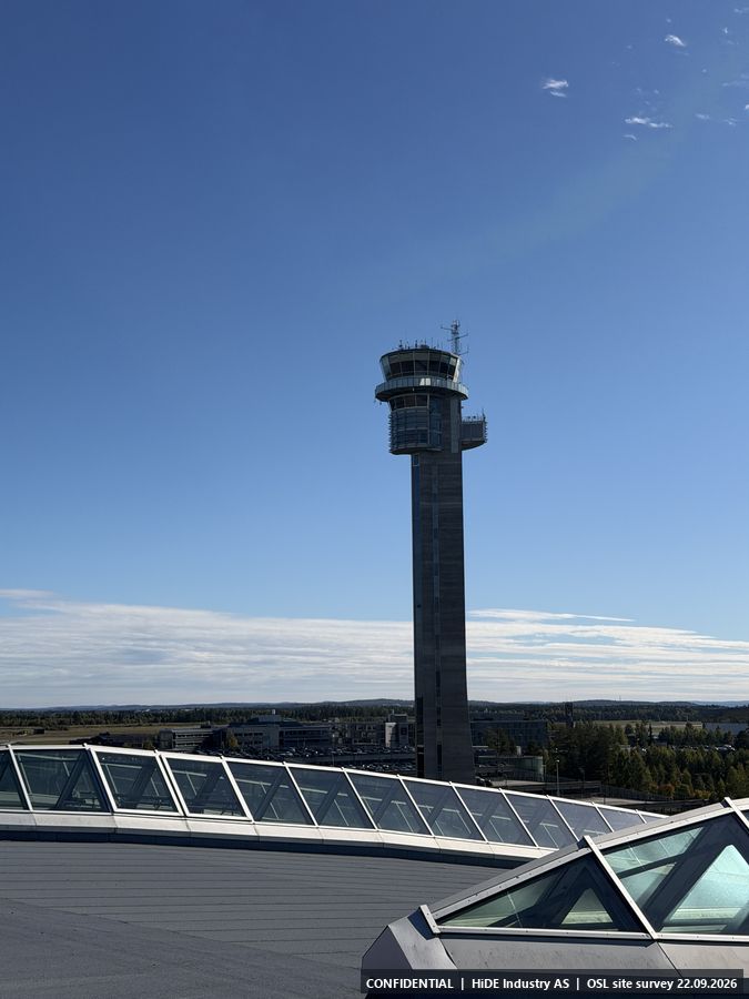
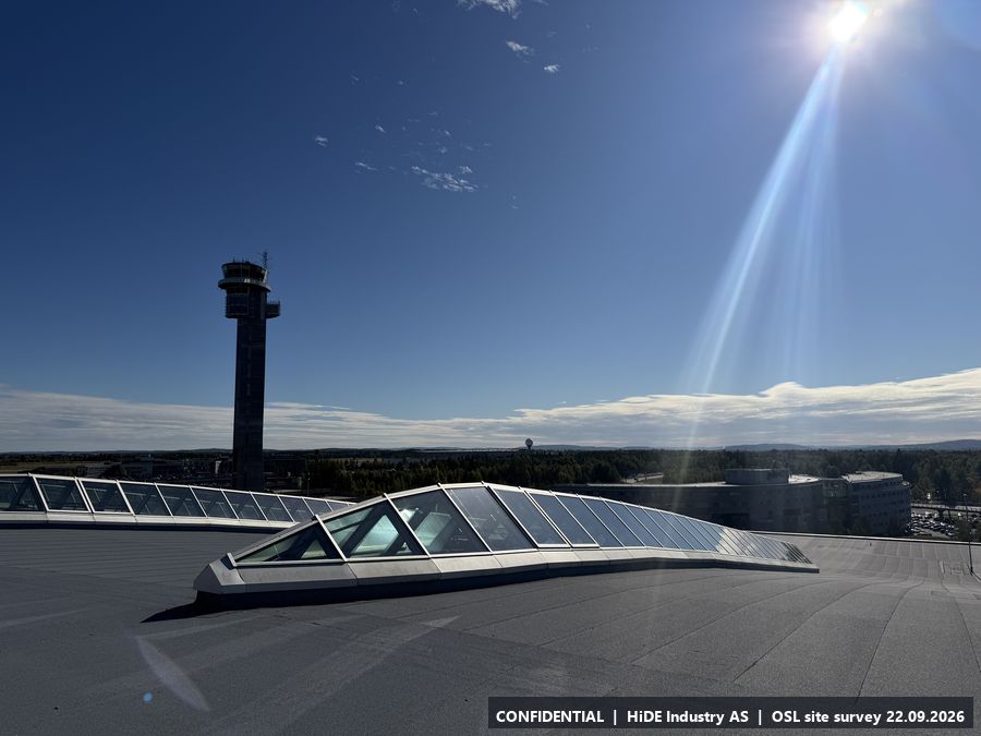
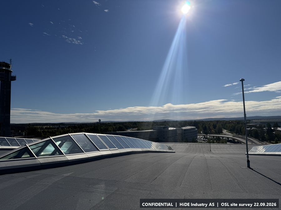
Map screenshots (Norgeskart app) at G: 3
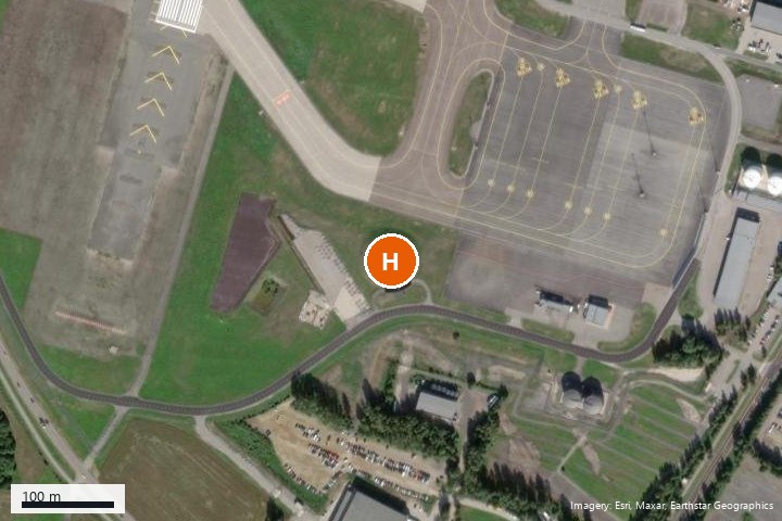
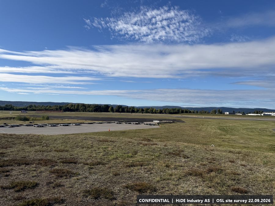
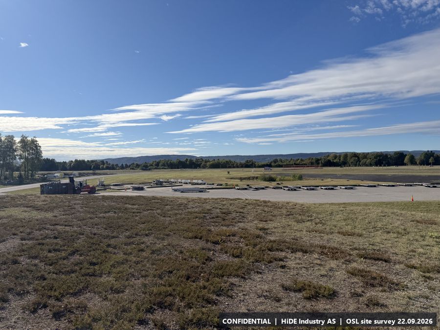
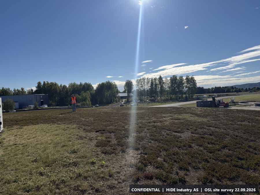
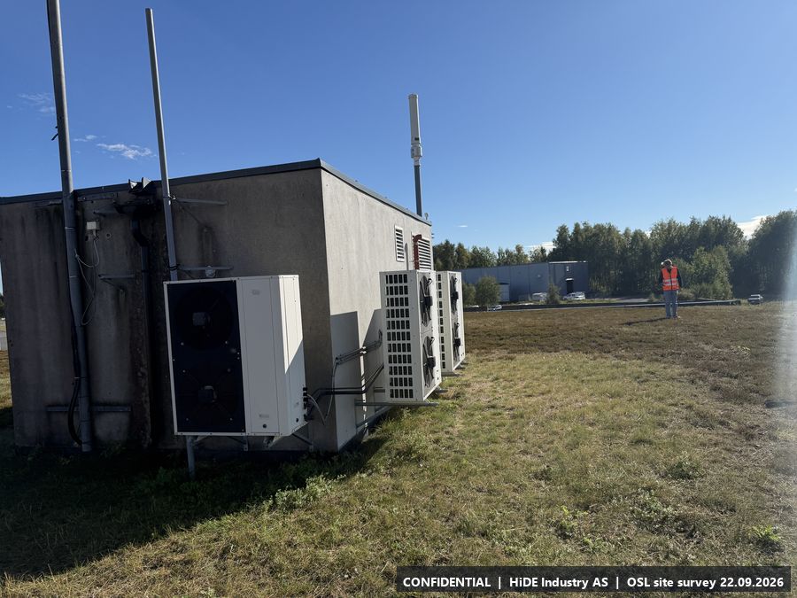
H5.8 Technical shelter, south-west
- Coordinates
- 60.182714, 11.077997 (WGS84) (adjusted by hand to the structure)
- Visited
- 14:09 to 14:09 CEST. 17 photographs, camera headings covering approx. 309 degrees
- Elevation
- approx. 206 m above sea level (GPS, hand height)
- Type
- Stop visited on the ground with Avinor escort
- Mounting height
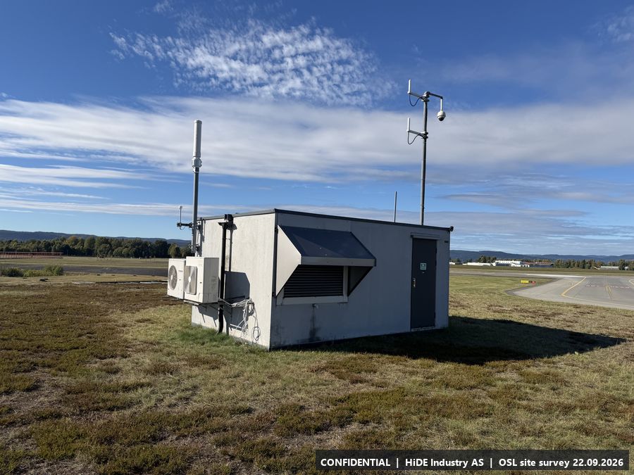
- The height of the antenna mast on the shelter roof is the maximum for a mast.
- Power
- Power.
- Mobile coverage
- 5G Telenor. Telia not checked.
- RF equipment at the site
- Antenna mast on the roof (same type as A).
- Notes
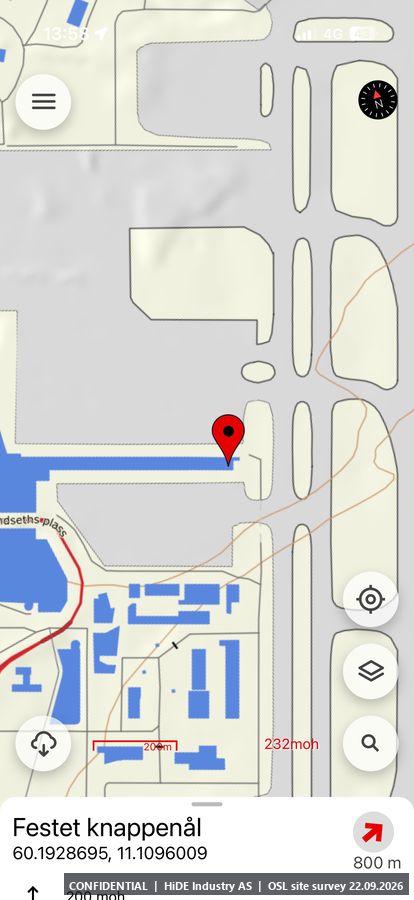
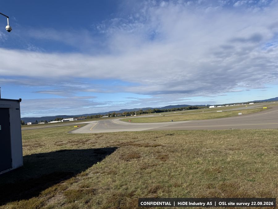
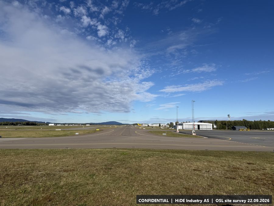
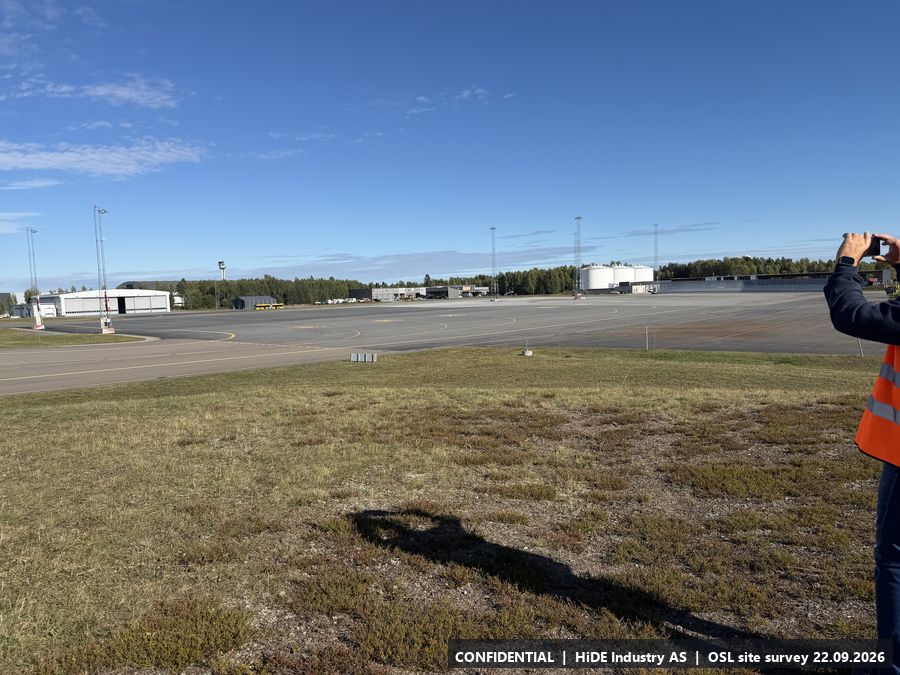
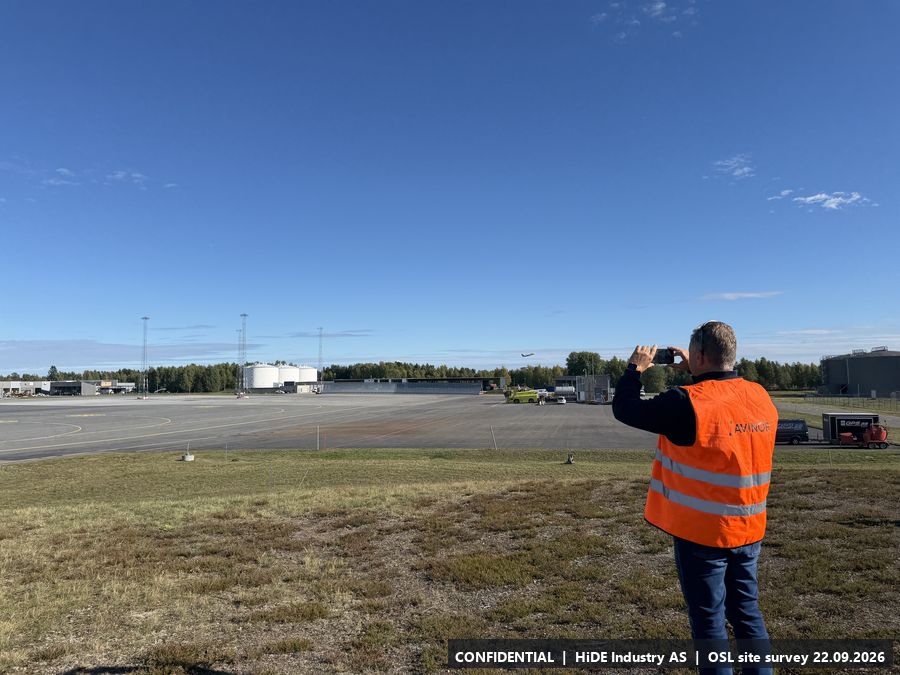
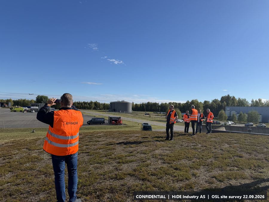
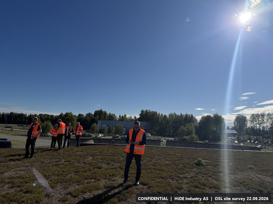
- Same type of shelter as A and I. Open grass area by the western runway, tree line to the west.
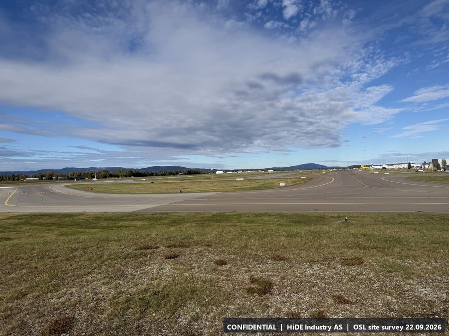
All 17 photographs from H
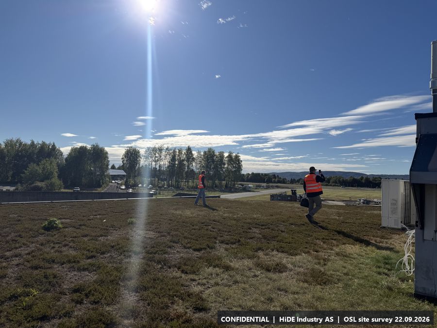
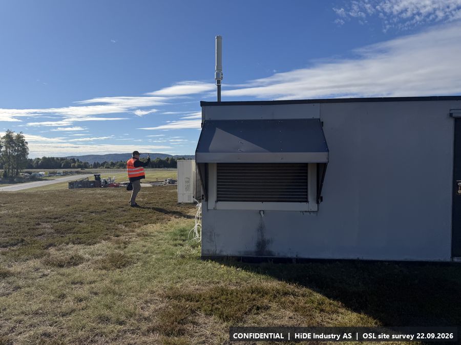
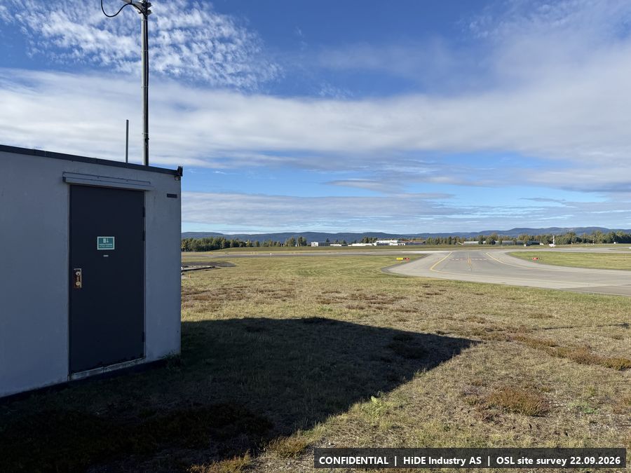
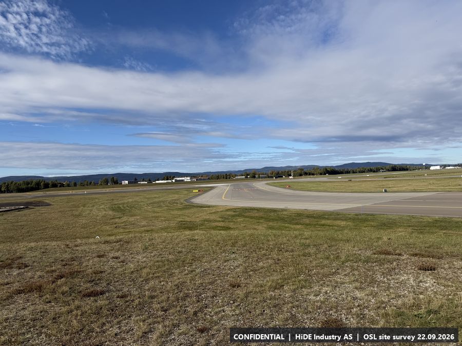
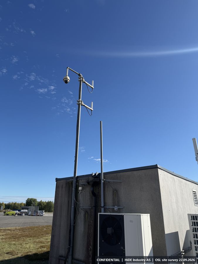
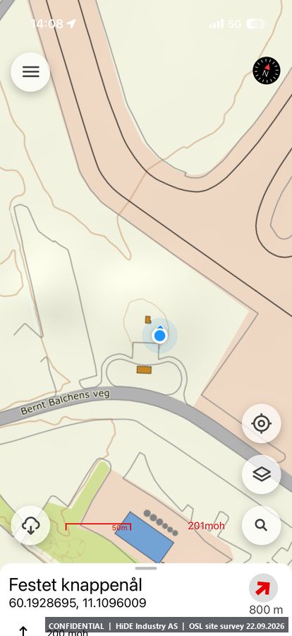
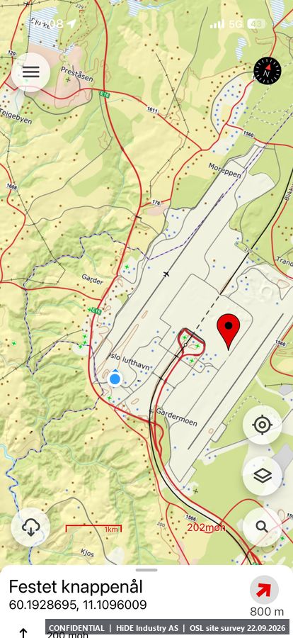
Map screenshots (Norgeskart app) at H: 2
I5.9 Technical shelter, north
- Coordinates
- 60.216185, 11.096134 (WGS84)
- Visited
- 14:32 to 14:33 CEST. 17 photographs, camera headings covering approx. 317 degrees
- Elevation
- approx. 211 m above sea level (GPS, hand height)
- Type
- Stop visited on the ground with Avinor escort
- Mounting height
- See H.
- Power
- Power.
- Mobile coverage
- 4G Telenor. A point-to-point link (for example Ubiquiti) from another location is acceptable to extend the network.
- RF equipment at the site
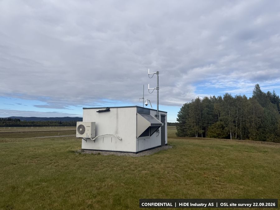
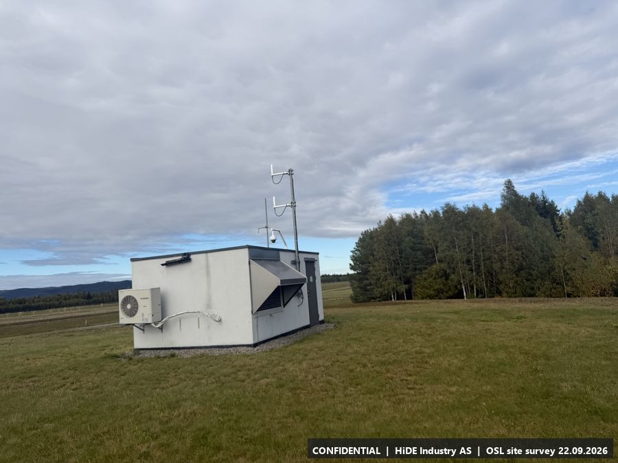
- Antenna mast on the roof.
- Notes
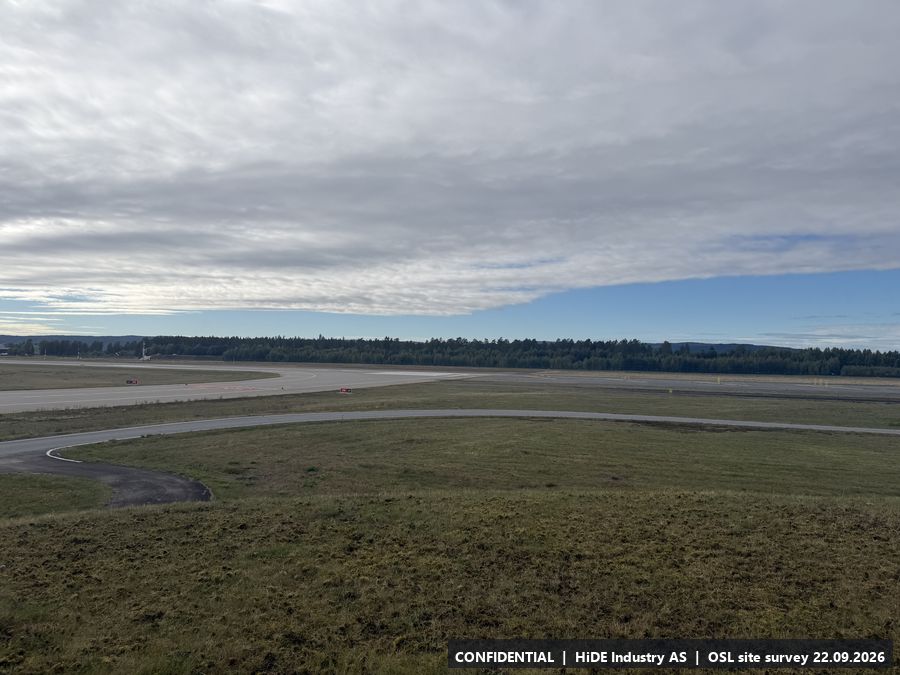
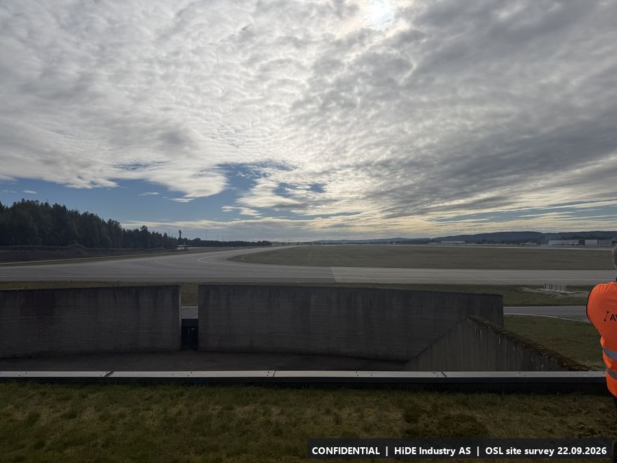
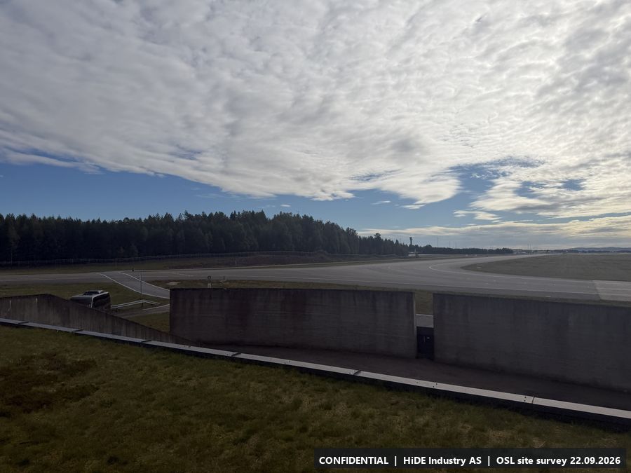
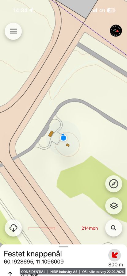
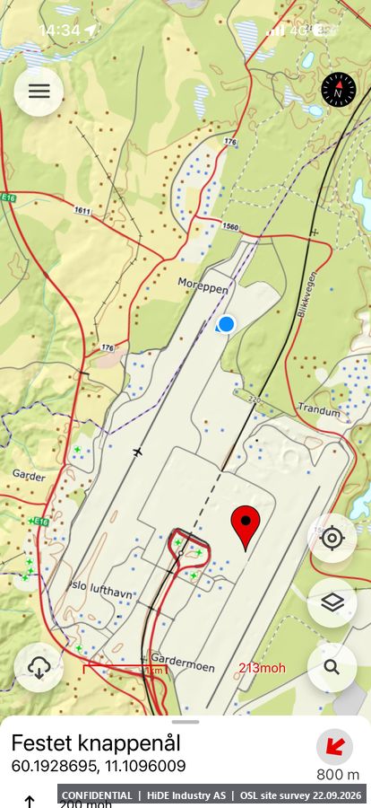
- Same set-up as the other shelters. Northern end of the western runway, concrete structures nearby (see IMG_8742 to IMG_8744).
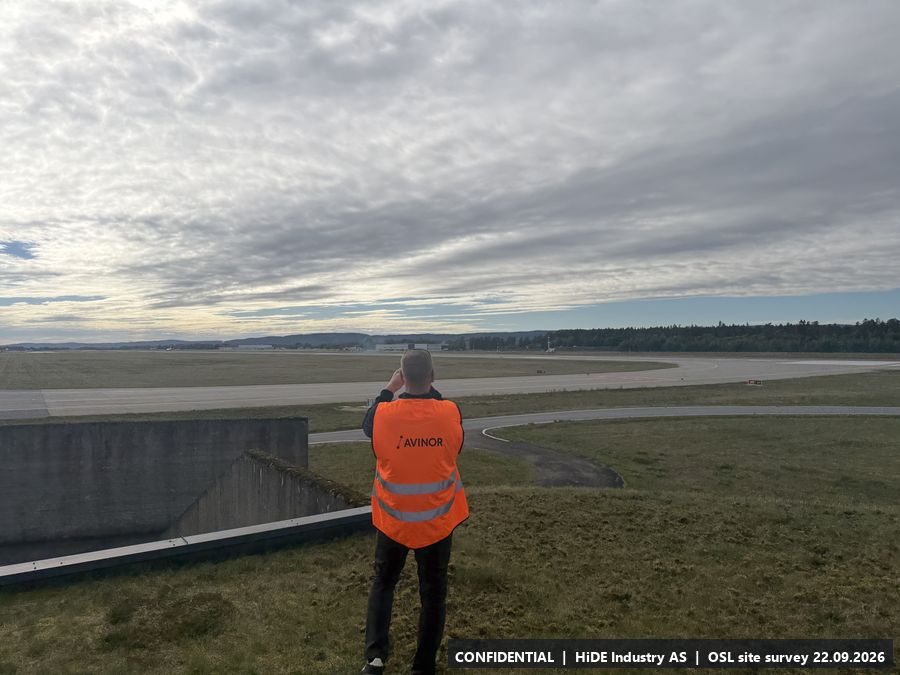
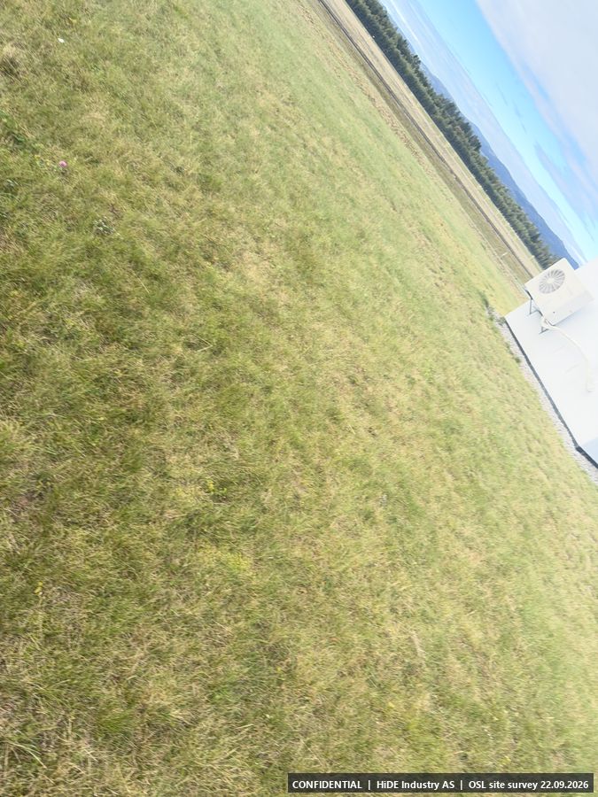
All 17 photographs from I
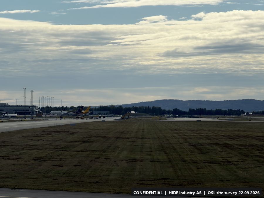
Map screenshots (Norgeskart app) at I: 2
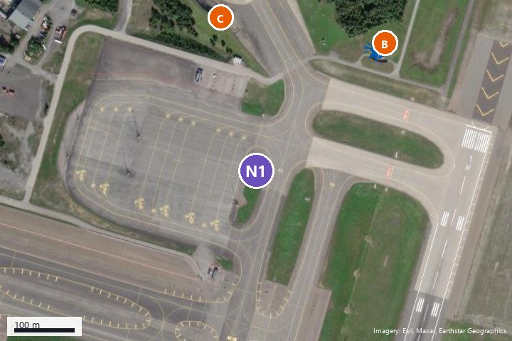
N15.10 Existing mast (pending Avinor)
- Coordinates
- 60.200590, 11.115742 (WGS84) (plotted on the map after the visit)
- Photographs
- None taken at the point. Seen from B in IMG_8604, IMG_8603
- Type
- Plotted on the map after the visit, not visited
- Mounting height
- 10 m or more, in the mast.
- Power
- No power. Has to be brought.
- Mobile coverage
- Not checked.
- Notes
- Pending Avinor: whether a lift can be borrowed to mount equipment up in the mast. See the photos taken from B directly towards this point.
N25.11 Gravel area east of the bowl
- Coordinates
- 60.204195, 11.118536 (WGS84) (plotted on the map after the visit)
- Photographs
- None taken at the point. Seen from D and B in IMG_8640, IMG_8597
- Type
- Plotted on the map after the visit, not visited
- Mounting height
- Not assessed.
- Power
- No power. Generator only.
- Mobile coverage
- Not checked.
- Notes
- Gravel area east of the bowl, noted during the visit as an alternative surface to C and D. No power.
N35.12 Pier east (must be requested from Avinor)
- Coordinates
- 60.193017, 11.109344 (WGS84) (plotted on the map after the visit)
- Photographs
- None taken at the point. Seen from G in IMG_8686
- Type
- Plotted on the map after the visit, not visited
- Mounting height
- Not assessed.
- Power
- Unknown.
- Mobile coverage
- Not checked.
- Notes
- Position requested by HiDE; permission from Avinor is uncertain. Line of sight to A appears blocked.
N45.13 Tower by the terminal (must be requested from Avinor)
- Coordinates
- 60.192955, 11.097891 (WGS84) (plotted on the map after the visit)
- Photographs
- None taken at the point. Seen from G in IMG_8687, IMG_8709
- Type
- Plotted on the map after the visit, not visited
- Mounting height
- Not assessed.
- Power
- Probably, not confirmed.
- Mobile coverage
- Not checked.
- Notes
- Tower with a glazed cab next to the western pier, seen from the terminal roof (G). Highest vantage point over both aprons and the terminal area. Permission must be requested from Avinor.
6 RF environment observed
The following transmitters and receivers were observed or stated on site. HiDE has not measured anything; the list is provided as input for the partners' own frequency and siting assessment.
- SSR/ADS-B and GNSS: 1030 MHz and 1090 MHz antennas (secondary surveillance radar interrogation and transponder/ADS-B replies) plus GPS receivers on the technical shelters at A and B, and on the control tower F. The shelters at H and I carry similar antenna masts.
- X-band radars: A weather radar in the container at E, stated on site as 9 GHz, 100 kW peak, one rotation per 2.5 minutes, scanning in 7 elevation sectors. A large 9 GHz radar sits on top of the control tower F. Both are in the same band as X-band drone detection radars and are within a few hundred metres of positions C, D, E and N2.
- Aeronautical voice: VHF and UHF antennas on the control tower F.
- Metal and fencing near the positions: Metal guard rails along the rim of the concrete bowl (D), metal shelters with antenna masts at A, B, H and I, light masts on the terminal roof (G), and the container and mast at E. The open grass areas around A, H and I have no fences in the immediate vicinity.
7 Open items and requests to Avinor
The following points are not yet resolved. HiDE will raise them with Avinor's drone programme (Sander Hatleli Aasen, Christian Molberg Hultgreen).
- N4, tower by the terminal: permission to place equipment at or on the tower next to the western pier.
- N3, pier east: permission to place equipment at the eastern end of the pier.
- N1, existing mast: whether a lift can be borrowed to mount equipment in the mast, and whether power is available there or must be brought.
- Mast heights: the maximum permitted mast height at each position must be checked against Avinor's building restriction (BRA) map or obstacle limitation plan, in particular at A, B, H and I.
- Power at the concrete bowl (C and D): one socket at C and three power cabinets around the bowl. Allocation between vendors needs to be agreed, since FLIR/Teledyne is also considering a trailer at C or between C and D.
- Camera pointing: whether cameras may be pointed towards the Norwegian Armed Forces area at Gardermoen.
- Vehicle rigs and mobile equipment: Avinor requires a separate application for access with vehicle rigs or other mobile C-UAS equipment during the test (per Avinor's invitation). Generator use at N2 should be included in that application.
8 Follow-up
- Position selection: done by the partners in their own planning tool, using the coordinates, photographs, camera headings and site conditions in this report. HiDE makes no recommendation on placement.
- Meeting: Willem asked for a meeting after the survey. HiDE will set it up and walk through this report.
- HiDE: sends the requests in section 7 to Avinor and relays the answers, then confirms the selected positions with Avinor before the equipment is shipped.
- Site conditions to plan for: roof positions (B and G) need ballast weights and securing for tripods. N1 needs a lift. N2 has no power. C has one shared socket.
9 Limitations of this report
- Positions come from a phone's GPS and have a typical accuracy of 3 to 8 m. They are adequate for planning, not for final antenna placement, which should be confirmed on site.
- Altitudes are GPS altitudes and can deviate several metres from the true terrain height.
- Positions N1 to N4 were plotted on the map by HiDE and have not been visited on foot. N3 and N4 depend entirely on Avinor's permission.
- Details about the weather radar at E and the equipment on the control tower F are as stated on site and have not been verified.
- HiDE has not assessed radar line of sight quantitatively and makes no recommendation on placement. The photographs and the camera headings in Annex A are intended to support the partners' own assessment.
Lars Jakob Nagelsaker
CEO, HiDE Industry AS
Hønefoss, 23 September 2026
Videos
Four short clips from the visit, 720p.
Annex A: Photo index
All photographs with a GPS position, grouped by stop. Heading is the camera's compass heading (true north). Accuracy is the horizontal position accuracy stated by the phone. Photographs marked with an asterisk have poor accuracy and were not used for the position calculation. File names refer to the photo package.
A: Technical shelter, south end (14 photographs)
| File | Time | Latitude | Longitude | Heading | Accuracy |
|---|---|---|---|---|---|
| IMG_8546 | 12:17:27 | 60.175281 | 11.103192 | 33° | 2 m |
| IMG_8548 | 12:18:29 | 60.175386 | 11.103483 | 3° | 7 m |
| IMG_8549 | 12:18:31 | 60.175386 | 11.103483 | 76° | 5 m |
| IMG_8550 | 12:18:33 | 60.175389 | 11.103486 | 145° | 4 m |
| IMG_8551 | 12:18:35 | 60.175392 | 11.103481 | 212° | 4 m |
| IMG_8552 | 12:20:12 | 60.175361 | 11.103350 | 251° | 10 m |
| IMG_8553 | 12:20:15 | 60.175372 | 11.103403 | 259° | 6 m |
| IMG_8554 | 12:20:16 | 60.175386 | 11.103417 | 257° | 5 m |
| IMG_8555 | 12:20:24 | 60.175456 | 11.103428 | 215° | 5 m |
| IMG_8556 | 12:20:26 | 60.175469 | 11.103411 | 182° | 5 m |
| IMG_8557 | 12:20:37 | 60.175389 | 11.103267 | 104° | 5 m |
| IMG_8558 | 12:20:44 | 60.175319 | 11.103322 | 43° | 4 m |
| IMG_8559* | 12:29:30 | 60.175289 | 11.103414 | 355° | 229 m |
| IMG_8560 | 12:29:33 | 60.175506 | 11.103044 | 356° | 12 m |
B: Concrete building by the taxiway (37 photographs)
| File | Time | Latitude | Longitude | Heading | Accuracy |
|---|---|---|---|---|---|
| IMG_8574 | 12:41:02 | 60.202367 | 11.119406 | 18° | 20 m |
| IMG_8575 | 12:41:04 | 60.202361 | 11.119394 | 103° | 10 m |
| IMG_8576 | 12:41:09 | 60.202317 | 11.119325 | 68° | 6 m |
| IMG_8577 | 12:41:10 | 60.202317 | 11.119308 | 63° | 6 m |
| IMG_8578 | 12:41:20 | 60.202414 | 11.119269 | 283° | 6 m |
| IMG_8579 | 12:41:21 | 60.202403 | 11.119289 | 296° | 5 m |
| IMG_8580 | 12:41:23 | 60.202397 | 11.119297 | 253° | 5 m |
| IMG_8581 | 12:41:24 | 60.202397 | 11.119303 | 213° | 5 m |
| IMG_8582 | 12:41:26 | 60.202386 | 11.119311 | 170° | 5 m |
| IMG_8583 | 12:41:27 | 60.202381 | 11.119322 | 122° | 5 m |
| IMG_8584 | 12:41:29 | 60.202386 | 11.119328 | 81° | 5 m |
| IMG_8585 | 12:41:30 | 60.202389 | 11.119339 | 37° | 5 m |
| IMG_8586 | 12:41:32 | 60.202397 | 11.119336 | 26° | 5 m |
| IMG_8587 | 12:41:33 | 60.202408 | 11.119336 | 348° | 5 m |
| IMG_8588 | 12:41:34 | 60.202419 | 11.119322 | 310° | 5 m |
| IMG_8589 | 12:41:36 | 60.202411 | 11.119303 | 274° | 5 m |
| IMG_8590 | 12:41:54 | 60.202503 | 11.119569 | 34° | 5 m |
| IMG_8591* | 12:42:13 | 60.202522 | 11.119611 | 53° | 21 m |
| IMG_8592 | 12:42:25 | 60.202533 | 11.119617 | 214° | 6 m |
| IMG_8593 | 12:42:33 | 60.202553 | 11.119653 | 248° | 5 m |
| IMG_8594 | 12:42:43 | 60.202583 | 11.119661 | 185° | 5 m |
| IMG_8595 | 12:42:49 | 60.202586 | 11.119550 | 125° | 5 m |
| IMG_8596 | 12:42:58 | 60.202469 | 11.119586 | 15° | 5 m |
| IMG_8597 | 12:43:04 | 60.202494 | 11.119664 | 336° | 5 m |
| IMG_8598 | 12:43:12 | 60.202503 | 11.119742 | 297° | 5 m |
| IMG_8599 | 12:43:14 | 60.202506 | 11.119775 | 58° | 5 m |
| IMG_8601 | 12:48:28 | 60.202358 | 11.119694 | 233° | 10 m |
| IMG_8602 | 12:48:29 | 60.202361 | 11.119689 | 234° | 7 m |
| IMG_8603 | 12:48:30 | 60.202369 | 11.119683 | 233° | 5 m |
| IMG_8604 | 12:48:32 | 60.202378 | 11.119717 | 235° | 4 m |
| IMG_8605 | 12:48:34 | 60.202378 | 11.119728 | 236° | 4 m |
| IMG_8606 | 12:48:35 | 60.202381 | 11.119753 | 236° | 3 m |
| IMG_8607 | 12:48:36 | 60.202386 | 11.119758 | 234° | 3 m |
| IMG_8610* | 12:53:26 | 60.200972 | 11.116947 | 144° | 707 m |
| IMG_8611* | 12:53:27 | 60.200972 | 11.116947 | 178° | 707 m |
| IMG_8612* | 12:53:28 | 60.202347 | 11.119561 | 232° | 35 m |
| IMG_8613* | 12:53:30 | 60.202381 | 11.119633 | 295° | 24 m |
C: Concrete bowl, west side (9 photographs)
| File | Time | Latitude | Longitude | Heading | Accuracy |
|---|---|---|---|---|---|
| IMG_8615 | 12:59:16 | 60.202892 | 11.114672 | 1° | 5 m |
| IMG_8616 | 12:59:20 | 60.202903 | 11.114656 | 16° | 5 m |
| IMG_8617 | 13:00:09 | 60.202886 | 11.114683 | 214° | 5 m |
| IMG_8618 | 13:00:12 | 60.202886 | 11.114678 | 277° | 5 m |
| IMG_8619 | 13:00:14 | 60.202878 | 11.114661 | 307° | 5 m |
| IMG_8620 | 13:00:16 | 60.202878 | 11.114661 | 352° | 5 m |
| IMG_8621 | 13:00:17 | 60.202886 | 11.114672 | 62° | 5 m |
| IMG_8622 | 13:00:19 | 60.202886 | 11.114672 | 115° | 5 m |
| IMG_8623 | 13:00:20 | 60.202881 | 11.114675 | 140° | 5 m |
D: Concrete bowl, north rim (25 photographs)
| File | Time | Latitude | Longitude | Heading | Accuracy |
|---|---|---|---|---|---|
| IMG_8626 | 13:06:39 | 60.204425 | 11.114750 | 22° | 4 m |
| IMG_8627 | 13:06:40 | 60.204433 | 11.114778 | 72° | 5 m |
| IMG_8628 | 13:06:41 | 60.204433 | 11.114803 | 111° | 5 m |
| IMG_8629 | 13:06:42 | 60.204436 | 11.114819 | 171° | 5 m |
| IMG_8630 | 13:06:43 | 60.204436 | 11.114844 | 207° | 5 m |
| IMG_8631 | 13:08:05 | 60.204403 | 11.115875 | 69° | 5 m |
| IMG_8632* | 13:08:06 | 60.204272 | 11.116367 | 102° | 40 m |
| IMG_8633 | 13:08:08 | 60.204117 | 11.116489 | 142° | 19 m |
| IMG_8634 | 13:08:10 | 60.204094 | 11.116600 | 169° | 12 m |
| IMG_8635 | 13:08:12 | 60.204111 | 11.116603 | 38° | 5 m |
| IMG_8636 | 13:08:13 | 60.204111 | 11.116608 | 341° | 4 m |
| IMG_8637 | 13:08:15 | 60.204103 | 11.116628 | 282° | 3 m |
| IMG_8638 | 13:08:16 | 60.204103 | 11.116617 | 224° | 3 m |
| IMG_8639 | 13:08:49 | 60.203772 | 11.116875 | 197° | 5 m |
| IMG_8640 | 13:08:50 | 60.203761 | 11.116878 | 61° | 5 m |
| IMG_8641 | 13:08:52 | 60.203758 | 11.116897 | 104° | 5 m |
| IMG_8642 | 13:08:52 | 60.203761 | 11.116892 | 148° | 5 m |
| IMG_8643 | 13:08:53 | 60.203761 | 11.116894 | 188° | 5 m |
| IMG_8644 | 13:08:54 | 60.203756 | 11.116897 | 227° | 5 m |
| IMG_8645 | 13:08:55 | 60.203756 | 11.116883 | 272° | 5 m |
| IMG_8646 | 13:08:56 | 60.203758 | 11.116875 | 318° | 5 m |
| IMG_8647 | 13:08:57 | 60.203758 | 11.116875 | 360° | 5 m |
| IMG_8648 | 13:08:58 | 60.203761 | 11.116892 | 70° | 5 m |
| IMG_8650* | 13:09:55 | 60.203539 | 11.116953 | 295° | 140 m |
| IMG_8651* | 13:09:55 | 60.203539 | 11.116953 | 301° | 140 m |
E: Hilltop north, weather radar container (23 photographs)
| File | Time | Latitude | Longitude | Heading | Accuracy |
|---|---|---|---|---|---|
| IMG_8652* | 13:19:08 | 60.206214 | 11.113386 | 91° | 155 m |
| IMG_8653* | 13:19:09 | 60.206200 | 11.113733 | 98° | 26 m |
| IMG_8654 | 13:19:14 | 60.206222 | 11.113864 | 29° | 11 m |
| IMG_8655 | 13:19:15 | 60.206231 | 11.113869 | 309° | 9 m |
| IMG_8656 | 13:19:16 | 60.206222 | 11.113875 | 289° | 8 m |
| IMG_8657 | 13:19:18 | 60.206228 | 11.113875 | 37° | 6 m |
| IMG_8658 | 13:19:19 | 60.206228 | 11.113872 | 90° | 6 m |
| IMG_8659 | 13:19:20 | 60.206222 | 11.113881 | 147° | 5 m |
| IMG_8660 | 13:19:21 | 60.206222 | 11.113897 | 196° | 5 m |
| IMG_8664 | 13:19:52 | 60.206231 | 11.113847 | 271° | 5 m |
| IMG_8665 | 13:19:53 | 60.206219 | 11.113842 | 223° | 5 m |
| IMG_8666 | 13:20:01 | 60.206169 | 11.113803 | 49° | 5 m |
| IMG_8667 | 13:20:02 | 60.206169 | 11.113836 | 48° | 5 m |
| IMG_8668 | 13:22:14 | 60.206169 | 11.113897 | 149° | 6 m |
| IMG_8669 | 13:22:15 | 60.206161 | 11.113911 | 182° | 6 m |
| IMG_8670 | 13:22:16 | 60.206158 | 11.113911 | 217° | 6 m |
| IMG_8671 | 13:22:19 | 60.206161 | 11.113911 | 299° | 5 m |
| IMG_8672 | 13:22:25 | 60.206178 | 11.113906 | 16° | 5 m |
| IMG_8673 | 13:22:26 | 60.206178 | 11.113925 | 332° | 5 m |
| IMG_8674 | 13:22:28 | 60.206181 | 11.113936 | 335° | 5 m |
| IMG_8675 | 13:22:30 | 60.206181 | 11.113933 | 339° | 5 m |
| IMG_8676 | 13:22:32 | 60.206153 | 11.113897 | 61° | 5 m |
| IMG_8677 | 13:22:33 | 60.206161 | 11.113903 | 139° | 5 m |
F: Control tower (2 photographs)
| File | Time | Latitude | Longitude | Heading | Accuracy |
|---|---|---|---|---|---|
| IMG_8679* | 13:32:15 | 60.201522 | 11.103694 | 96° | 36 m |
| IMG_8681 | 13:33:27 | 60.201386 | 11.103408 | 93° | 5 m |
G: Terminal roof (29 photographs)
| File | Time | Latitude | Longitude | Heading | Accuracy |
|---|---|---|---|---|---|
| IMG_8682 | 13:48:47 | 60.194672 | 11.095728 | 176° | 12 m |
| IMG_8683 | 13:50:07 | 60.194694 | 11.095725 | 332° | 12 m |
| IMG_8684 | 13:50:09 | 60.194686 | 11.095753 | 17° | 9 m |
| IMG_8685 | 13:50:10 | 60.194686 | 11.095761 | 70° | 8 m |
| IMG_8686 | 13:50:12 | 60.194683 | 11.095767 | 110° | 8 m |
| IMG_8687 | 13:50:13 | 60.194681 | 11.095769 | 151° | 6 m |
| IMG_8688 | 13:50:14 | 60.194669 | 11.095758 | 183° | 5 m |
| IMG_8689 | 13:50:16 | 60.194669 | 11.095753 | 219° | 5 m |
| IMG_8690 | 13:50:17 | 60.194672 | 11.095750 | 265° | 5 m |
| IMG_8691 | 13:50:18 | 60.194681 | 11.095753 | 328° | 5 m |
| IMG_8692 | 13:50:20 | 60.194681 | 11.095753 | 23° | 6 m |
| IMG_8694 | 13:52:14 | 60.194739 | 11.095008 | 344° | 7 m |
| IMG_8695 | 13:52:15 | 60.194739 | 11.095000 | 291° | 7 m |
| IMG_8696 | 13:52:17 | 60.194739 | 11.095000 | 61° | 6 m |
| IMG_8697 | 13:52:18 | 60.194747 | 11.095014 | 64° | 6 m |
| IMG_8698 | 13:52:20 | 60.194747 | 11.095011 | 342° | 6 m |
| IMG_8699 | 13:52:21 | 60.194747 | 11.095019 | 331° | 6 m |
| IMG_8700 | 13:52:22 | 60.194747 | 11.095028 | 298° | 6 m |
| IMG_8701 | 13:52:22 | 60.194744 | 11.095028 | 265° | 6 m |
| IMG_8702 | 13:52:23 | 60.194725 | 11.095044 | 235° | 5 m |
| IMG_8703 | 13:52:24 | 60.194725 | 11.095036 | 214° | 5 m |
| IMG_8704 | 13:52:25 | 60.194725 | 11.095033 | 192° | 5 m |
| IMG_8705 | 13:52:26 | 60.194725 | 11.095033 | 160° | 5 m |
| IMG_8706 | 13:52:27 | 60.194717 | 11.095044 | 127° | 5 m |
| IMG_8707 | 13:52:28 | 60.194714 | 11.095061 | 87° | 5 m |
| IMG_8708 | 13:52:29 | 60.194711 | 11.095072 | 63° | 5 m |
| IMG_8709 | 13:53:20 | 60.194647 | 11.095472 | 133° | 5 m |
| IMG_8710 | 13:53:25 | 60.194681 | 11.095453 | 155° | 5 m |
| IMG_8711 | 13:53:26 | 60.194683 | 11.095444 | 169° | 5 m |
H: Technical shelter, south-west (17 photographs)
| File | Time | Latitude | Longitude | Heading | Accuracy |
|---|---|---|---|---|---|
| IMG_8717 | 14:09:04 | 60.182653 | 11.078228 | 303° | 5 m |
| IMG_8718 | 14:09:08 | 60.182681 | 11.078153 | 348° | 5 m |
| IMG_8719 | 14:09:09 | 60.182681 | 11.078139 | 26° | 5 m |
| IMG_8720 | 14:09:11 | 60.182689 | 11.078142 | 77° | 5 m |
| IMG_8721 | 14:09:12 | 60.182689 | 11.078144 | 106° | 5 m |
| IMG_8722 | 14:09:13 | 60.182694 | 11.078133 | 134° | 5 m |
| IMG_8723 | 14:09:14 | 60.182694 | 11.078131 | 170° | 5 m |
| IMG_8724 | 14:09:15 | 60.182694 | 11.078131 | 207° | 5 m |
| IMG_8725 | 14:09:16 | 60.182686 | 11.078133 | 246° | 5 m |
| IMG_8726 | 14:09:17 | 60.182686 | 11.078144 | 307° | 5 m |
| IMG_8727 | 14:09:28 | 60.182767 | 11.077933 | 7° | 4 m |
| IMG_8728 | 14:09:29 | 60.182769 | 11.077922 | 334° | 4 m |
| IMG_8729 | 14:09:30 | 60.182772 | 11.077906 | 288° | 4 m |
| IMG_8730 | 14:09:31 | 60.182769 | 11.077892 | 243° | 4 m |
| IMG_8731 | 14:09:32 | 60.182758 | 11.077894 | 187° | 3 m |
| IMG_8732 | 14:09:34 | 60.182756 | 11.077917 | 154° | 3 m |
| IMG_8733 | 14:09:42 | 60.182744 | 11.077944 | 128° | 4 m |
I: Technical shelter, north (17 photographs)
| File | Time | Latitude | Longitude | Heading | Accuracy |
|---|---|---|---|---|---|
| IMG_8734 | 14:32:55 | 60.216039 | 11.095967 | 286° | 20 m |
| IMG_8735 | 14:32:56 | 60.216039 | 11.095967 | 280° | 20 m |
| IMG_8736 | 14:32:57 | 60.216039 | 11.095967 | 4° | 20 m |
| IMG_8737 | 14:33:16 | 60.216222 | 11.096158 | 5° | 5 m |
| IMG_8738 | 14:33:18 | 60.216222 | 11.096161 | 52° | 5 m |
| IMG_8739 | 14:33:19 | 60.216217 | 11.096172 | 12° | 5 m |
| IMG_8740 | 14:33:22 | 60.216214 | 11.096167 | 321° | 5 m |
| IMG_8741 | 14:33:23 | 60.216214 | 11.096164 | 257° | 5 m |
| IMG_8742 | 14:33:25 | 60.216211 | 11.096161 | 216° | 5 m |
| IMG_8743 | 14:33:26 | 60.216214 | 11.096156 | 184° | 5 m |
| IMG_8744 | 14:33:27 | 60.216211 | 11.096147 | 149° | 5 m |
| IMG_8745 | 14:33:28 | 60.216214 | 11.096158 | 126° | 5 m |
| IMG_8746 | 14:33:28 | 60.216214 | 11.096156 | 92° | 5 m |
| IMG_8747 | 14:33:29 | 60.216222 | 11.096169 | 61° | 5 m |
| IMG_8748 | 14:33:30 | 60.216222 | 11.096169 | 32° | 5 m |
| IMG_8749 | 14:33:35 | 60.216222 | 11.096219 | 186° | 11 m |
| IMG_8750 | 14:33:36 | 60.216214 | 11.096225 | 182° | 10 m |
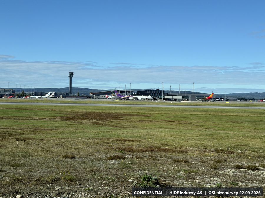
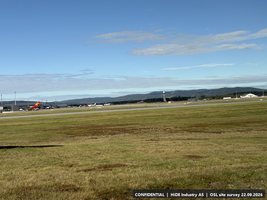
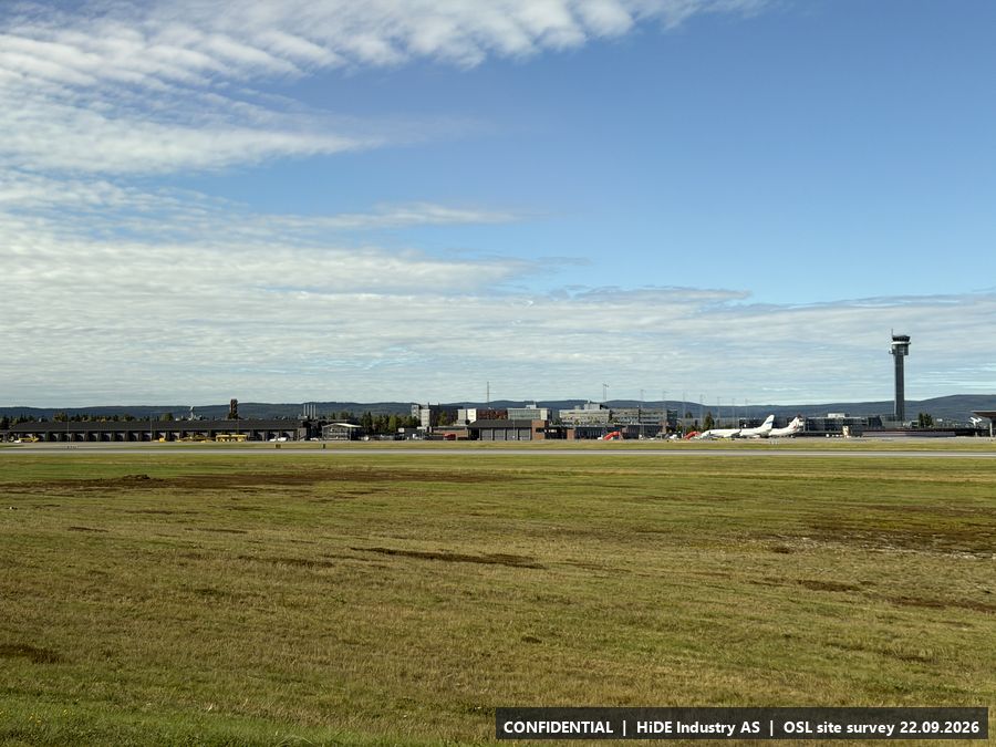
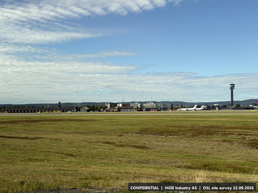
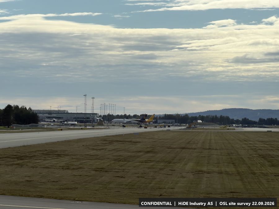
Photographs taken from the bus between stops
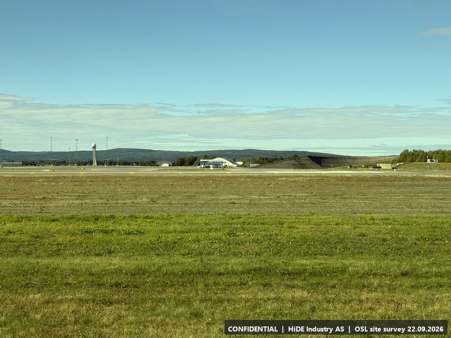
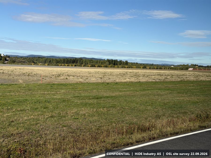
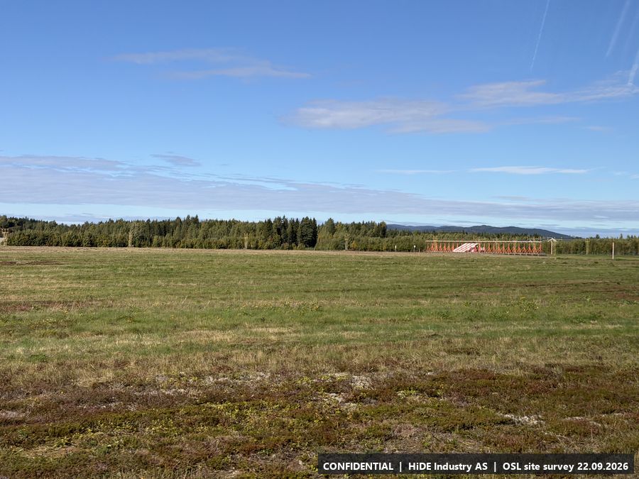
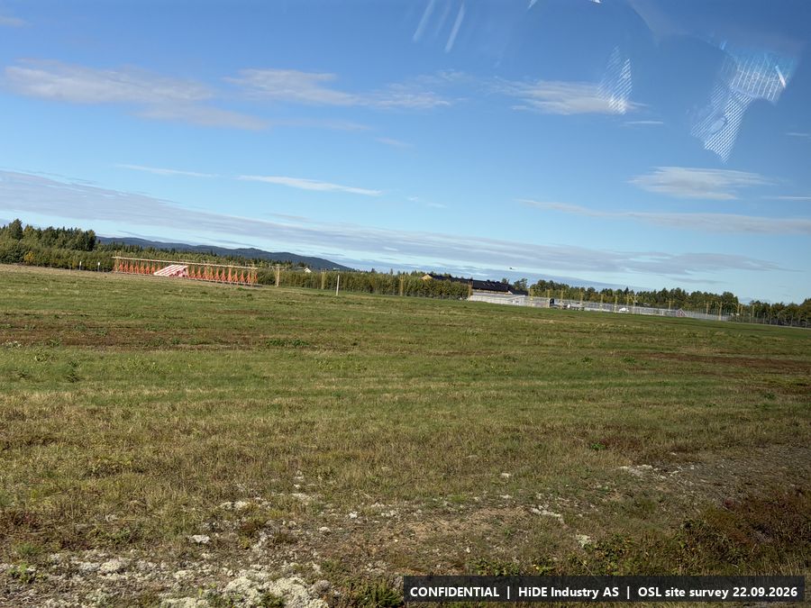
These show the runway and apron environment along the route and are not tied to a position.